ANAFI
Ai
88
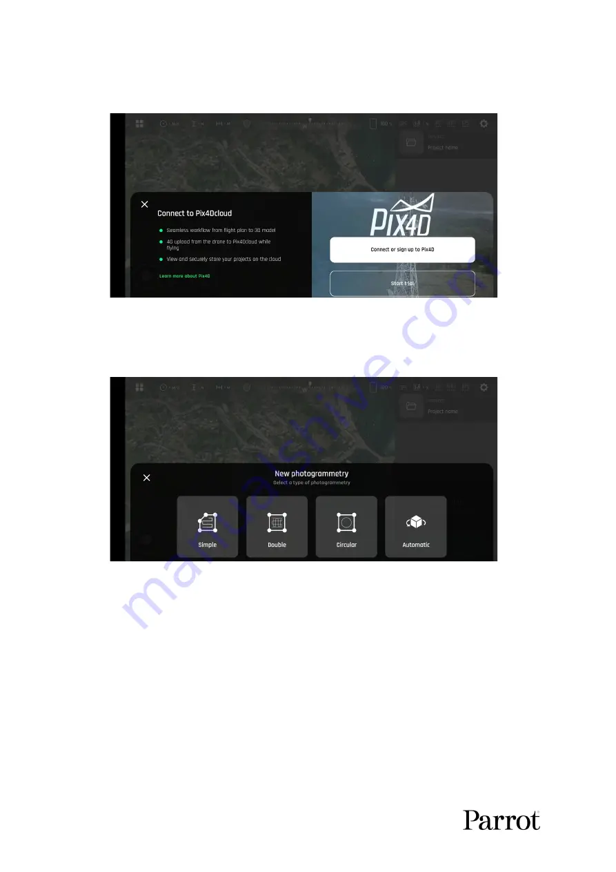
From the following screen, either connect to your Pix4Dcloud account, or start
your trial.
FreeFlight 7 Pix4D options
Finally, select a photogrammetry mission type.
FreeFlight 7 photogrammetry type selection
Simple
Simple grid photogrammetry flights are useful to create 2D maps. Simple grids can be
precisely adapted to any shape, to match the borders of a field or a coastline, for example.
Follow these steps to program and launch a simple grid mapping flight.
Tap the map to create a square grid.
Tap and slide the green corners of the square to adapt the grid to the zone you
want to map.
Tap any “+” sign to create a new segment and a new corner.
Select a flight altitude (the higher, the shorter the flight, but the lesser details on the
map).
Summary of Contents for ANAFI Ai
Page 1: ...ANAFI Ai Robotics for your business USER GUIDE v early 1 01...
Page 2: ...PAGE BLANK ON PURPOSE P A G E I S B L A N K O N P U R P O S E...
Page 6: ...ANAFI Ai 6 4 All systems are ready for flight...
Page 50: ...ANAFI Ai 50 Slider minimap mode Tap the minimap or 3D window to revert to default view...


