23
Before
Use
22
●
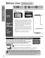
Do not start driving until the opening screen and warning screen close.
●
The vehicle position indicator may disappear temporarily after the speed is increased
depending on the vehicle model. This is a normal phenomenon indicating that the system
is calculating the distance correction.
●
In the following cases, drive the vehicle in an open area for approximately 30 minutes at a speed
of over 12.5 mph (20 kmph), while receiving GPS signals. This should be done after re-setting
the learning results from position correction (accuracy level) in order to improve the GPS distance
correction accuracy (with the GPS reception indicator illuminating on the map screen).
Refer to "Automatic Distance Correction" for details for distance correction for the items below
(
page 46).
1. When using the navigation system for the very first time after installing the system
2. When the navigation system is transferred to another vehicle
3. When the tyre pressure is changed, tyres are changed, tyres are shifted in rotation or a spare
tyre is used
4. When deleting the position correction learning results for some reason
■
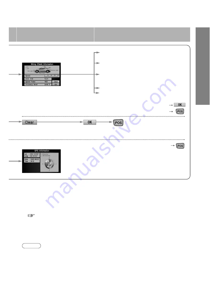
Automatic distance correction check
3
Information appears
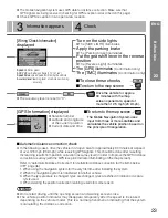
Turn on the side lights
●
The [SIDE LIGHT] illuminates.
Apply the parking brake
●
The [Parking brake] illuminates.
Put the gearshift lever in the reverse
position
●
The [Reverse Light] illuminates.
The [GPS] illuminates
(Confirmation only)
The [TMC] illuminates
(Confirmation only)
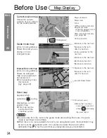
[Wiring Check Information]
displayed
●
The accuracy level is reset to "0".
4
Check
■
To close these checks
■
To return to the map screen
Speed:
vehicle speed
ACC Volt:
car battery voltage (11 V to 16 V)
Speed Pulse:
speed pulse emitted by the vehicle
Accuracy level:
learning level of vehicle positioning
accuracy
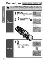
[GPS Information] displayed
Drive the vehicle for approx.
30 minutes with the map
screen opened at a speed of
more than 12.5 mph (20 kmph).
■
To return to the map screen
●
Satellite number
●
Latitude and longitude
of the current position
●
Current date and time
●
The mobile navigation system uses GPS data for distance correction. Make sure that
GPS signals are being received (checking for GPS reception is described on this page).
●
Check GPS reception in an open area location.
Notes
The Mobile Navigation System uses
input from three or more satellites and
calculates the vehicle position based on
the principle of triangulation.
ENG

