


54
Software
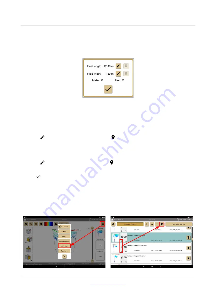
7.4.6 Setting field dimensions
If you want to measure the position of potential targets you must enter the correct field dimensions of your
scan area. In the toolbar menu (see section 7.4.3 “Toolbar menu” on page 50) you have to select the option
"Scan dimensions ..."
. Then the dimensions dialog from figure 7.26 appears on the screen.
In the dialog you can enter the following information:
•
Meter / Feet
Select either
Meter
or
Feet
as your unit of length and width.
•
Field Length
This is the length of a single scan line, no matter if you have conducted a scan in 2D or 3D. Simply tap
the
button to change the length value. If the
button is enabled, you can tap on it to get the
calculated length value according to the recorded GPS data.
•
Field Width
This is only useful for 3D scans and indicates the distance between first and last scan line. Simply tap
the
button to change the width value. If the
button is enabled, you can tap on it to get the
calculated width value according to the recorded GPS data.
Push the
button to apply all changes and close the dialog.
7.4.7 Showing map files
Within the software application you can create Google map files that contain one or more scan files. There
are two possible ways to create a map with your measurement.
Alternative 1
Alternative 2
OKM GmbH
Figure 7.26: Field dimensions dialog
Figure 7.27: Create a map file - Alternative 1
Figure 7.28: Create a map file - Alternative 1


