Page 13
Finding a Satellite
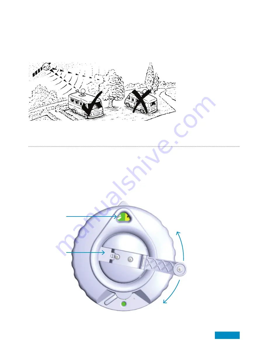
Before starting check there is a clear line of sight to the southern sky. All television broadcasting satellites have
a geostationary orbit which means their location is fixed above the earth’s equator. Satellites also have a
limited range of transmission so use the Zone maps included in the appendix to check your location is suitable
for reception. If your location is near the limit of reception it is recommended to adjust the skew angle of the
LNB to maximise signal quality and strength (see page 16 for details)
Note:
Ensure the TV and Satellite Receiver are connected in accordance to the manufacturer’s instructions.
The Zone map can be stuck to the wall if needed near the Dish Direction Unit.
Start a search
1.
Open elevation handle
2.
We recommend always winding the Antenna Handle 25 turns to 25 degrees as a starting position.
3.
Determine the approximate dish elevation required from the zone map (see back page).
4.
Adjust the elevation handle and wind to elevation shown on the zone map.
(Compensate the elevation angle accordingly if your vehicle is not level)
Elevation read out
and dish direction
pointer
Elevation Handle
Antenna Down
Antenna Up
Summary of Contents for Crank Up B2590/65
Page 20: ......


