


Magellan NAV 6000
45
Menu Functions
The NAV 6000 offers various menu functions that are acces-
sible from any of the navigation screens by pressing the MENU
softkey. From the FUNCTION MENU you can access the
Waypoints list, System Setup, Alarms, Map Setup, Track His-
tory, Trip Planning, Sun/Moon, Simulation mode, and
Memory Reset.
System Setup
System Setup allows you to set screen contrast, time and date
format, select a coordinate system, map datum, and elevation
mode, select units, north reference, velocity averaging, port
setup, and activate and deactivate the beeper.
To access System Setup, press the
MENU
softkey from any
navigation screen, highlight System Setup and press
ENTER
.
The SETUP MENU appears. To select the desired function,
scroll down to highlight the function using the
CURSOR
KEY
, then press
ENTER
.
To exit the SETUP MENU, press
QUIT
.
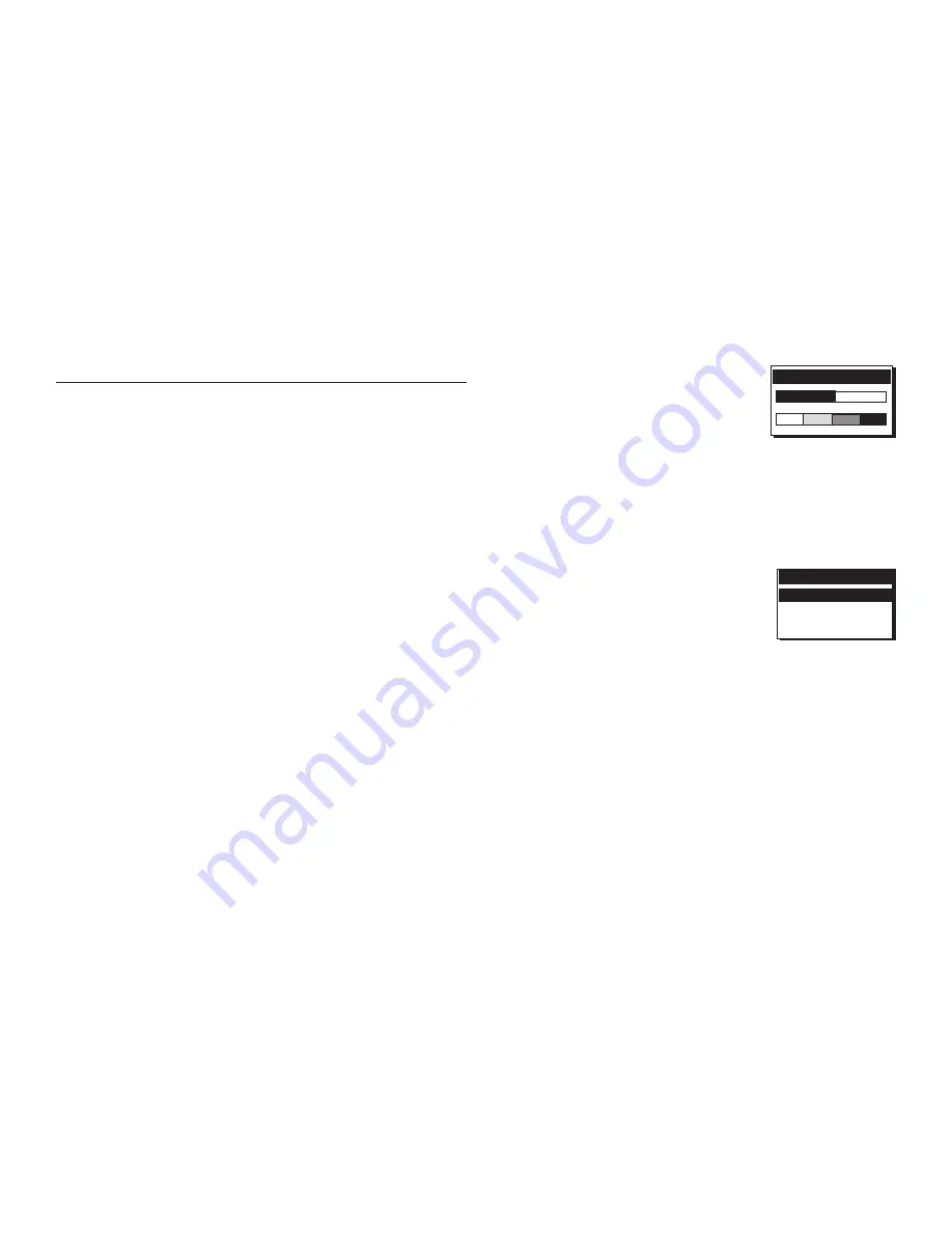
Adjusting Contrast
The contrast can be changed for best screen viewing.
Press the
MENU
softkey from any of the navigation screens,
highlight System Setup and press
ENTER
.
The SETUP MENU appears. Highlight
Contrast using the
CURSOR KEY
, then
press
ENTER
to display the contrast
scale adjustment bar.
Use the
CURSOR KEY
to change con-
trast and press
ENTER
to confirm. Press
QUIT
to exit.
Default setting:
50%
Setting Time Format
Time can be referenced to either Univer-
sal Time Coordinates (UTC, Greenwich
Mean Time in Greenwich, England) or
local time. For local time, you can select
12-Hour (AM/PM) or 24 Hour.
Press the
MENU
softkey from any of the navigation screens,
highlight System Setup and press
ENTER
.
The SETUP MENU appears. Use the
CURSOR KEY
to high-
light Time Format, press
ENTER
and a window opens that
lists Local 12 Hour, Local 24 Hour and UTC.
Use the
CURSOR KEY
to select an option and press
EN-
TER
.
Press
QUIT
to exit.
Default setting:
Local 12 hour
CONTRAST
TIME FORMAT
Local 12 Hour
Local 24 Hour
UTC
Summary of Contents for NAV6000
Page 1: ...Magellan NAV 6000 User Manual Magellan NAV 6000 User Manual...
Page 5: ...Magellan NAV 6000 User Manual...
Page 10: ......
Page 108: ...Magellan NAV 6000 98...
Page 109: ......
Page 110: ...22 10311 001 960 Overland Court San Dimas CA 91773 USA 909 394 5000 SYSTEMS CORPORATION...


