Using Custom Maps
MyGeotab fully supports using your own custom maps. This powerful feature allows
your organization to design your own business-relevant maps which are automatically
combined with MyGeotab’s vehicle information. Some possible usages include maps
which show customer centric information, underground water flow, municipal boundaries,
city infrastructure (power, roads, sewage, etc).
The custom maps you define are based on the ESRI shapefile format. For more
information about the file format refer to the
contact your authorized Geotab reseller.
You can integrate your own custom maps which are based on OpenLayers such as:
●
ArcGIS REST servers
●
MapQuest
●
CloudMade
●
Tilemill
Get started using your own maps by setting up your own tile or ArcGIS server. When
using MyGeotab, all trips, exceptions and zones will appear on your maps. When
everything is setup properly you can change your account preferences on MyGeotab to
utilize your own map server by selecting
Administration
from the left side menu and then
select
System Settings
/Maps
.
Searching the map
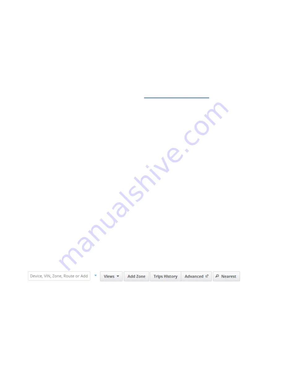
The search box makes it easy to find anything from one place. It simultaneously
searches:
●
Device name
●
Addresses
●
Zones
●
Customers
●
Routes
●
VIN (Vehicle identification number)
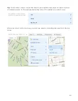
The drop down arrow to the right of the search is used to browse vehicles and groups.
Selecting the vehicle will show its current position on the map. You can search for and
select more than one vehicle at a time.
18

