14
Getting Started
Main Page Sequence
14
SKYWATCH Interface
Section 3
)
Confi guring Traffi c Data on the Map Page
The display of traffi c information is designed to closely resemble the display symbology used by
Goodrich on the SKYWATCH.
Traffi c is only displayed on the Map Page if aircraft heading data is
available. When heading is not available, Traffi c Advisories are displayed as non-bearing banners on
the Map Page.
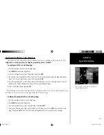
To confi gure traffi c on the Map Page:
1. Turn the small right knob to select the Map Page.
2. Press
MENU
to display the Page Menu. Turn the small right knob to select ‘Setup Map?’ and press
ENT
.
3. The fl ashing cursor highlights the
GROUP
fi eld. Turn the small right knob to select Traffi c and press
ENT
.
4. Turn the large right knob to select the desired Traffi c Mode option. Turn the small right knob to select the
desired option and press
ENT
. Repeat the step for Traffi c Symbol and Traffi c Label.
5. Return to the Map Page by pressing
CLR
.
Traffi c mode allows the operator to choose which traffi c is displayed (all traffi c, traffi c and proximity
advisories, or traffi c advisories only). The traffi c symbol is the symbol used to depict the type of traffi c
(400/500 Series and Goodrich use the same symbology):
• Traffi c Advisories (TA)—Yellow
• Proximity Advisories (PA)—White
• Other—White
Proximity Advisories (PA) are displayed as solid white diamonds. SKYWATCH shows these
PAs as hollow diamonds since the SKYWATCH display is monochrome. PAs are defi ned as
traffi c within the 4.0-nm range, within ± 1200 ft. of altitude separation, and are not a traf-
fi c advisory (TA).
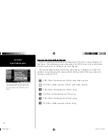
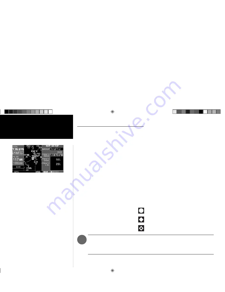
Selections for confi guring traffi c data are made from
the Map Setup Menu on the Map Page.
thirdparty.indd 14
3/12/2003, 4:13:22 PM


