Create User
Waypoint by
Lat/Lon
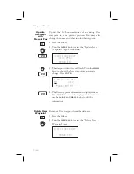
The Apollo GX allows you to create up to 500 of your
own waypoints to the waypoint database. You can
create a waypoint based on a Lat/Lon or using a
radial and distance from another waypoint. The
starting Lat/Lon coordinates are your present position
You can also add the runway length. Unlike normal
database waypoints a User waypoint with a runway of
0 length will appear in the nearest list and on the
map if a length is set for the runway limit in the
Nearest Search function, see
page 3-12
.
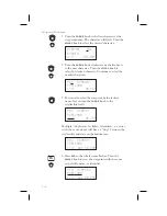
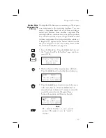
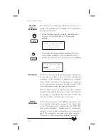
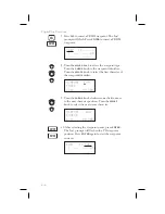
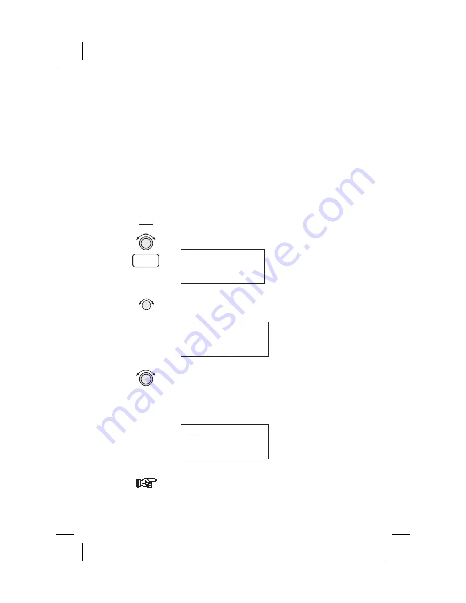
1. Press the
DB
soft key. Turn the
LARGE
knob to view
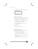
the “Create User Wpt By Lat/Lon” page, and then
press
ENTER
.
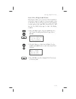
Create User Wpt
by Lat/Lon
Press ENT
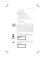
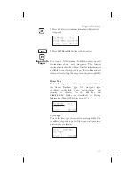
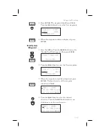
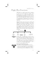
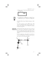
2. The first character of the waypoint name will flash.
Turn the
SMALL
knob to select the desired character.
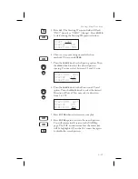
#000
USER
44°24.29N Rwlen
122°51.52W 0000’
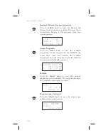
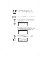
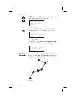
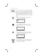
3. Turn the
LARGE
knob clockwise one click to move
to the next character. Turn the
SMALL
knob to
select the desired character. Continue to select the
needed characters for the Waypoint Name,
Latitude, Longitude, and Runway Length.
H000
USER
44°24.29N Rwlen
122°51.52W 0000’
Note
The default Lat/Lon is your present
position. This makes it easy to “mark” a
location.
5-9
Waypoint Database
DB
ENTER
Summary of Contents for APOLLO GX60
Page 1: ......
Page 194: ...9 4 Approach Basics GX50 60 ...
Page 232: ...9 42 Approach Examples ...
Page 240: ...9 50 Approach Examples ...
Page 245: ...9 55 Approach Examples ...
Page 266: ...Notes 9 76 Approach Examples ...
Page 271: ...Charts have been reduced for illustrative purposes 9 81 Approach Notes ...
Page 275: ...Reduced for illustrative purposes 9 85 Approach Notes ...
Page 276: ...Charts have been reduced for illustrative purposes 9 86 Approach Notes ...
Page 326: ...Notes 15 12 Glossary ...
Page 335: ......

