5
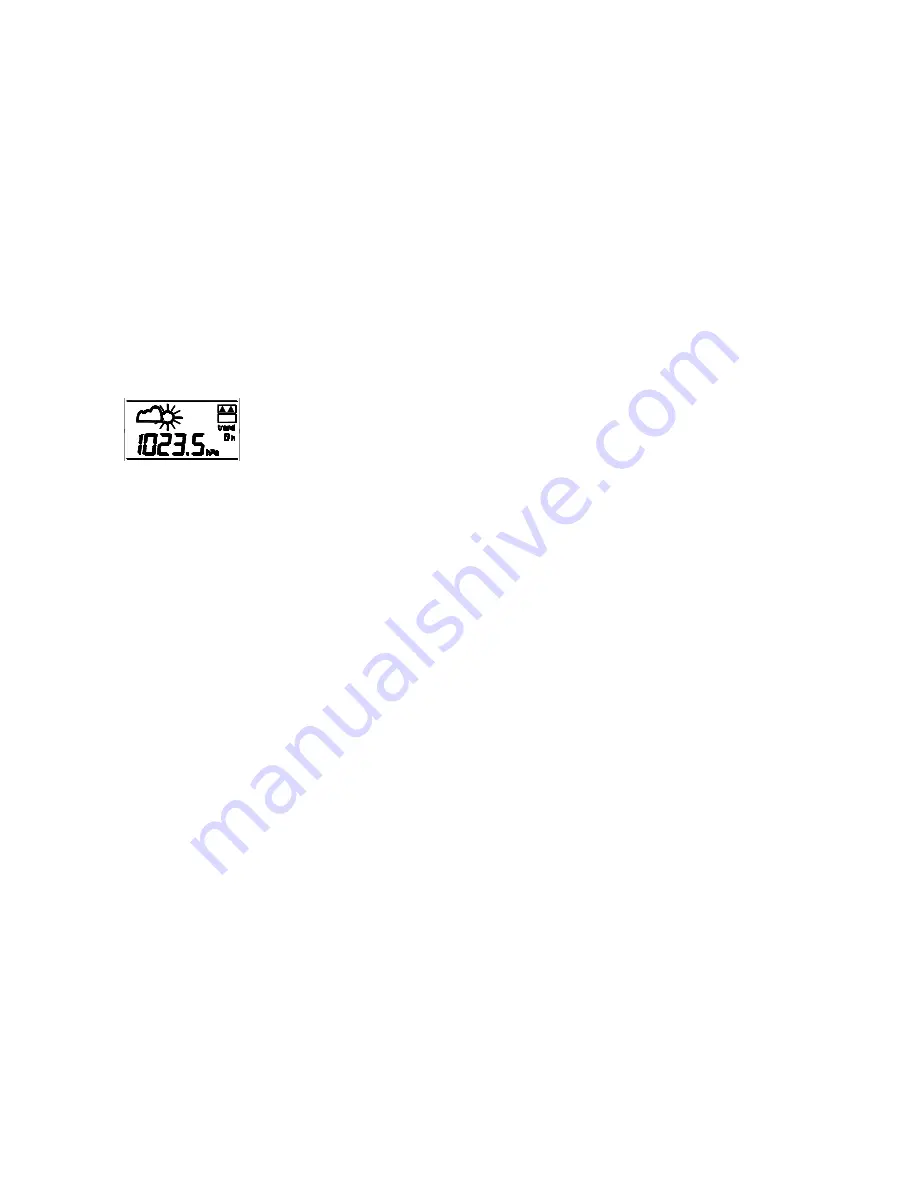
For every sudden or significant change in the air pressure, the weather icons will update
accordingly to represent the change in weather. If the icons do not change, then it means
either the air pressure has not changed or the change has been too slow for the Weather
station to register. However, if the icon displayed is a sun or raining cloud, there will be no
change of icon if the weather gets any better (with sunny icon) or worse (with rainy icon)
since the icons are already at their extremes.
The icons displayed forecasts the weather in terms of getting better or worse and not
necessarily sunny or rainy as each icon indicates. For example, if the current weather is
cloudy and the rainy icon is displayed, it does not mean that the product is faulty because
it is not raining. It simply means that the air pressure has dropped and the weather is
expected to get worse but not necessarily rainy.
Note:
After setting up, readings for weather forecasts should be disregarded for the next 12-24
hours. This will allow sufficient time for the Weather Station to collect air pressure data at
a constant altitude and therefore result in a more accurate forecast.
Common to weather forecasting, absolute accuracy cannot be guaranteed. The weather
forecasting feature is estimated to have an accuracy level of about 75% due to the varying
areas the Weather Station has been designed for use in. In areas that experience sudden
changes in weather (for example from sunny to rain), the Weather Station will be more
accurate compared to use in areas where the weather is stagnant most of the time (for
example mostly sunny).
If the Weather Station is moved to another location significantly higher or lower than its
initial standing point (for example from the ground floor to the upper floors of a house),
discard the weather forecast for the next 12-24 hours. By doing this, the Weather Station
will not mistake the new location as being a possible change in air-pressure when really it
is due to the slight change of altitude.
WEATHER TENDENCY INDICATOR
The Weather tendency indicators are located on the right hand side of the Weather icons
and they work independently from the Weather forecast icons. The Weather tendency
indicator pointing upward or downward directions is displayed based on comparing the
difference of the air pressure recorded during a full hour time frame.
Note:
•
A single weather tendency indicator will point upward or downward when the
difference in air pressure registered is more than 1hPa but less than 2.5hPa within 4
hours.
•
Two weather tendency indicators pointing upward or downward will be displayed
when the air pressure difference has increased or decr eased by 2.5hPa or more
within 4 hours
STORM WARNING INDICATOR:
Two flashing downward tendency indicators will be visualized if the air pressure has
dropped by 4 hPa or more in the last 6 hours. The storm indicator will stop flashing when
the air pressure rises back to a steady level again.
RELATIVE AIR PRESSURE FIGURES OF THE LAST 0-12 HOURS
The relative Air pressure history can be displayed numerically to view the air pressure
changes over the last 0-12 hours (also see notes on “
LCD4-
Air Pressure History
(electronic barometer with barometric pressure and trend)”
below
).
•
Press the -/HISTORY key to display the recorded air pressure changes during the
last 0-12 full hours. The numeric recorded air pressure will be display accordingly to
the hour.
Note
:
Every full hour, the displayed air pressure is shifted into the storage of last 12 hours. “0h”
represents the air pressure of the current hour according to the time display, “-1h”
represents the air pressure recorded last full hour before and so on.
WEATHER PARAMETER SETTINGS:
RELATIVE AIR PRESSURE SETTING (hPa)
The reference Relative Air Pressure (hPa) can be set between 970 to 1030hPa as follows:
1.
Press the -/HISTORY key for about 3 seconds to enter the weather parameter set
mode. The default reference pressure value starts flashing. Each press or holding
of the MIN/MAX/+ key will increase the digits by 1 hPa.
2.
Press the -/HISTORY key again to enter the Weather Icon Sensitivity setting mode
or use the CHANNEL key for immediate exit of the set mode.
Note
:
The default reference pressure value of the barometer is 1013 hPa.
For an exact
measurement it is necessary to adjust the barometer first to your local altitude
. Ask
for the present atmospheric pressure of your home area (Local weather service, www,
optician, calibrated instruments in public buildings, airport).
WEATHER FORECASTING ICON SENSITIVITY SETTING
The difference in Air pressure which makes a change of weather likely and leads to the
indication of the corresponding Weather Forecasting Icon can be set between the range
of 2-4 hPa as follows:


