76
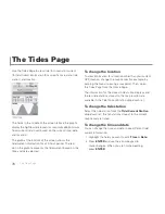
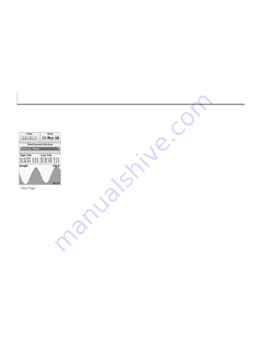
Use the Tides Page to view tide (for oceans) or current
(for tidal rivers) information for a specifi c time, date, tide
station, and location.
The fi elds in the middle of the screen (above the graph)
display the high/low tide (ocean) or maximum ebb/minimum
fl ood current (tidal river) based on the current time, date,
and location.
The graph at the bottom of the screen shows the
tide/current information for a 24-hour period. The red
dot in the graph represents the tide/current based on the
time and date selected.
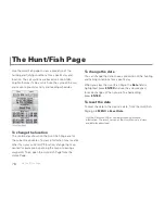
To change the location
To view information for a location other than your current
GPS location, change the map center (for example, by
panning the map or viewing a waypoint). Then, open
the Tides Page from the Home Page.
The information for the closest tide station displays and
the ten tide stations closest to the map location are
available in the Tide/Current Station drop-down list.
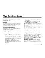
To change the tide station
Select the tide station from the
Tide/Current Station
drop-down list; the ten stations closest to the current
map center are listed.
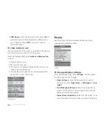
To change the time and date
You can change the time and date to see different tide/
current information.
1. Highlight the fi eld you want to edit (
Time
or
Date
).
2. Press
ENTER
and use the arrow keypad to
make changes. When you are fi nished editing,
press
ENTER
.
The Tides Page
The Tides Page
Summary of Contents for Earthmate GPS PN-60
Page 1: ...Earthmate PN 60 GPS DELORME User Manual ...
Page 5: ......

