TeleGPS Application
This document is released under the terms of the Creative Commons ShareAlike 3.0 license.
12
3.3.4. Map
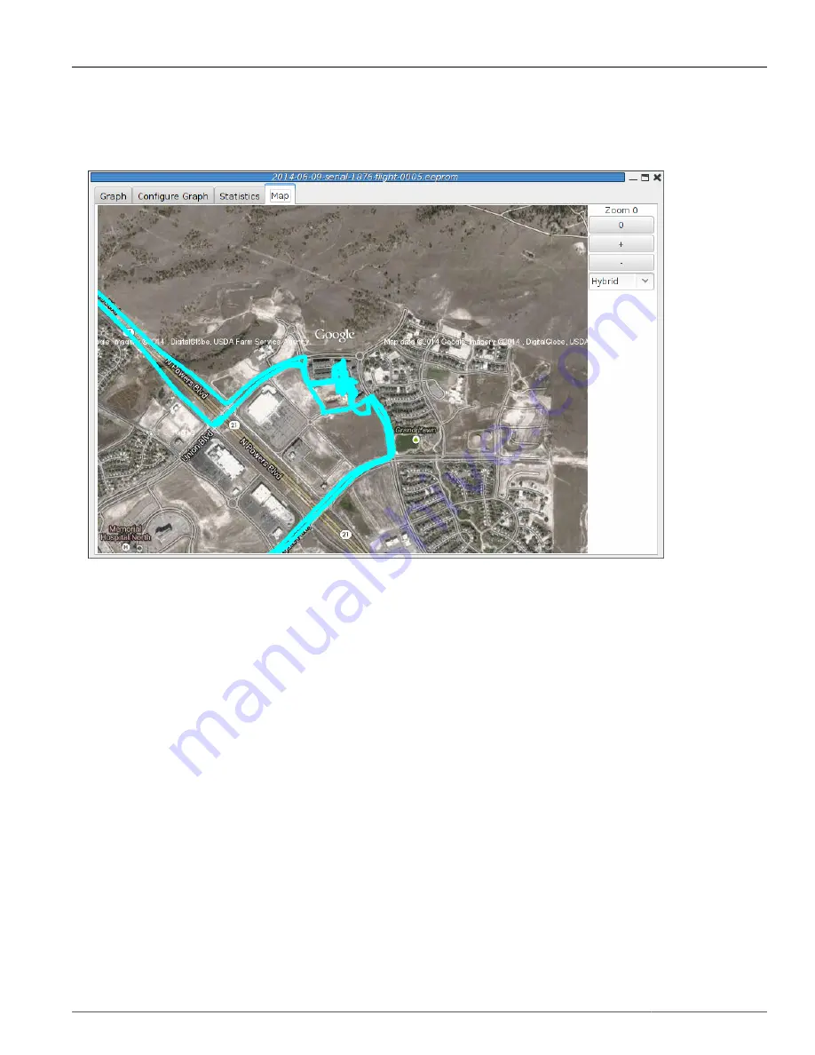
Figure 3.8. TeleGPS Map
Shows a map of the area overlaid with the GPS track. As with the telemetry monitoring window, you can
select the style of map and zoom level using buttons along the side; you can scroll the map by dragging
within the map pressing the left button and you can draw a line to measure distances using either the
left button with the shift key, or any other button.
3.4. Export Data
This tool takes the raw data files and makes them available for external analysis. When you select this
button, you are prompted to select a data file, which can be either a .eeprom or .telem. The .eeprom
files contain higher resolution and more continuous data, while .telem files contain receiver signal
strength information. Next, a second dialog appears which is used to select where to write the resulting
file. It has a selector to choose between CSV and KML file formats.
3.4.1. Comma Separated Value Format
This is a text file containing the data in a form suitable for import into a spreadsheet or other external
data analysis tool. The first few lines of the file contain the version and configuration information from
TeleGPS, then there is a single header line which labels all of the fields. All of these lines start with a
#
character which many tools can be configured to skip over.
The remaining lines of the file contain the data, with each field separated by a comma and at least one
space. All of the sensor values are converted to standard units, with the barometric data reported in
both pressure, altitude and height above pad units.


