136
|
Chapter 7
Getting Familiar with Autodesk MapGuide Author
Using the Design Tab
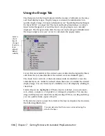
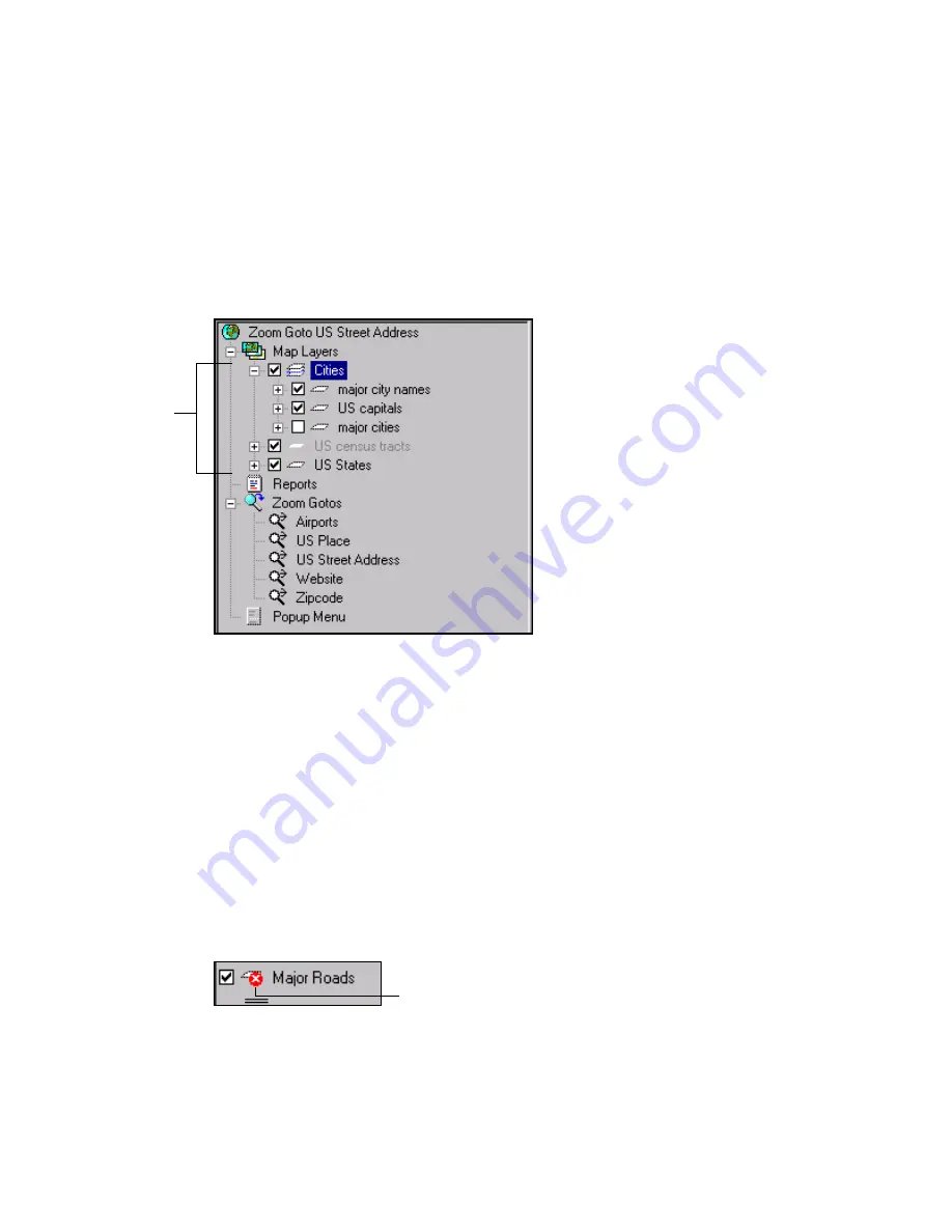
The Design tab of the Map Explorer lists the names of all layers in the map
and their display ranges. Display ranges contain style information for a
specific display range. For more information, see “Specifying Display Ranges
for Layer Styles” on page 164. The layer and layer group names are always
listed in the Design tab, even if the layer or layer group is not currently
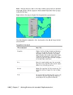
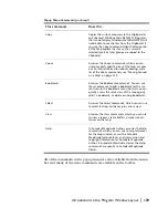
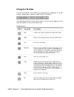
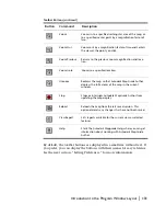
displayed. The Design tab also lists the reports and zoom goto definitions in
the map and gives you easy access to customize the popup menu.
Layers that are available at the current scale are listed in the legend in black,
and those that are unavailable at the current scale are dimmed (gray).
The check boxes in front of the layer names indicate whether or not the
available layers are visible by default when the layers are within the current
display range. You can turn a layer’s visibility on or off simply by clicking its
check box.
Selected layers are highlighted. When a layer is selected, you can remove,
save, delete, compress, or expand it, or change its properties. You can also
drag and drop layers to move them. By pressing CTRL as you drag and drop,
you can quickly make copies of layers.
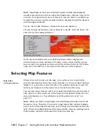
If the data for a layer cannot be retrieved, the layer is displayed as shown in
the following illustration:
Select a
check
box to
change a
layer or a
layer
group’s
default
visibility.
This icon indicates that there was an error retrieving the
data for the layer.
Summary of Contents for 15606-011408-9008 - MAPGUIDE R6.3 NAMED-100U PK
Page 1: ...15306 010000 5000 October 2001 Autodesk MapGuide Release 6 User s Guide ...
Page 8: ...viii ...
Page 92: ...92 ...
Page 152: ...152 ...
Page 188: ...188 ...
Page 204: ......


