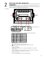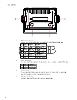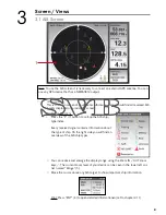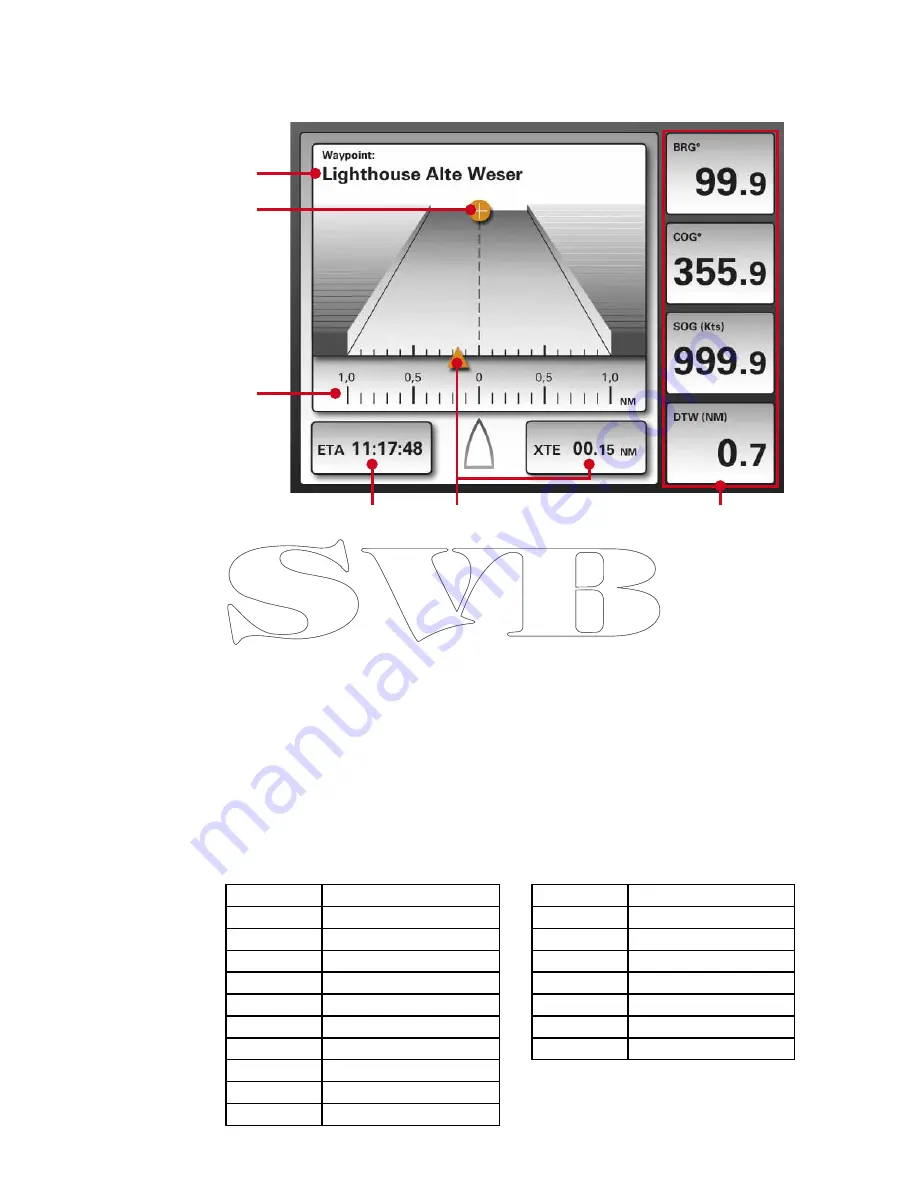
3.4 Highway
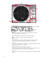
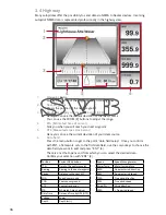
1.
Waypoint Name
Displays the name of the waypoint, which is being driven.
2.
Next Waypoint
Shows the position of the next waypoint.
3.
Graphical display of cross track error (XTE)
Here you can see the current deviation of the ideal course
.
You can use the ZOOM (9) buttons to adjust the range.
4.
ETA (Estimated time of arrival)
Tells you when you will reach your next waypoint.
5.
XTE (Measured cross track error)
Here you can see the current deviation of your ideal course.
6.
Data field
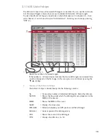
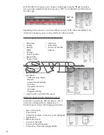
Press the menu button to get to the point “data field setup”. Once you confirm
with ENT, a framework sets to the first data field, use the cursor keys to choose the
data field you want to edit and press “ENT” (4).
There is a list that opens and from which you can select the desired data.
Confirm your selection with “ENT” (4).
Many autopilotes offer the possibility to send data via NMEA to Seatec devices. Incoming
autopilot NMEA data is represented professionally in the highway view.
Position
Current GPS position
TTG
Time to the next waypoint
Bearing
Bearing to the next waypoint
Range
Distance to the next WP
SOG
Speed over ground
COG
Course over ground
XTE
Course track error
ETA
Estimated time of arrival
Date Time
Date and Time by GPS (UTC)
Voltage
Power
Depth
Depth (mtr.)
Speed
Speed through water
Water Temp.
Water temperature
AWA
Apparent wind direction
AWS
Apparent wind speed
TWA
True wind direction
TWS
True wind speed
Wind Dir.
Wind direction
VMG
> True wind speed
15
4
5
6
1
2
3
Содержание AIS6
Страница 1: ...User Manual AIS6 MFR6...

