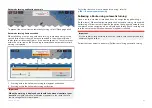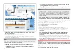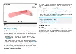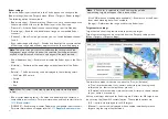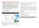
The length of the vector identifies where the target will be after the time
specified in
[Vector period]
has passed.
11.10 Collision avoidance
In addition to target tracking specific collision avoidance features are
available to improve awareness for the potential of collisions.
The specific collision avoidance features are:
• Dangerous targets alarm. Refer to:
p.187 — Dangerous targets alarm
• Radar guard zones. Refer to:
• Predicted areas of danger. Refer to:
p.187 — Predicted areas of danger
• LightHouse chart obstruction alarm. Refer to:
p.193 — Obstruction alarm (legacy LightHouse charts)
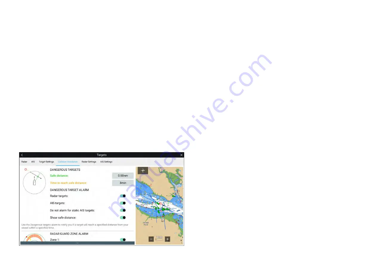
Dangerous targets alarm
Use the Dangerous targets alarm to notify you if a Radar target or AIS target
will reach a specified distance from your vessel within a specified time.
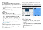
The Dangerous targets alarm settings can be accessed from the
[Collision
Avoidance]
menu:
[Menu > Targets > Collision Avoidance]
.
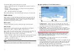
To set up the Dangerous targets alarm, adjust the
[Safe distance]
to the
desired value and then select a
[Time to reach safe distance]
. The alarm will
be triggered if a tracked target will reach the specified Safe distance from
your vessel within the time period selected.
The following additional options are available for the dangerous targets alarm:
•
[Radar targets]
— Enables Radar targets to be included in the dangerous
targets alarm. If this setting is disabled Radar targets will not trigger the
dangerous targets alarm.
•
[AIS targets]
— Enables AIS targets to be included in the dangerous targets
alarm. If this setting is disabled AIS targets will not trigger the dangerous
targets alarm.
•
[Do not alarm for static AIS targets]
— Enables ability to ignore AIS targets
that are considered static (travelling under 2 Knots). Static targets that
become dangerous will still be identified onscreen but will not trigger the
dangerous targets alarm.
•
[Show safe distance]
— Enables display of a safe distance circle around
your vessel.
Predicted areas of danger
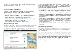
The Predicted areas of danger feature tracks Radar targets and AIS targets
in relation to your own vessel’s Course Over Ground (COG) and Speed
Over Ground (SOG).
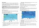
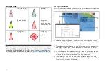
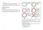
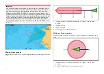
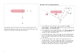
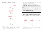
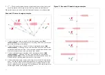
If your paths are predicted to cross, an Interception line is displayed between
your vessel and the target. Additionally, Interception zones are displayed to
indicate where there is an increased risk of collision. The Interception line and
the Interception zones are based on your current course and speed and the
target’s current course and speed, and they can help you determine whether
you should change course and / or speed to avoid a potential collision.
The graphics automatically refresh when the MFD receives new position
data from the target.
187
Содержание LIGHTHOUSE 4
Страница 2: ......
Страница 4: ......
Страница 20: ...APPENDIX C HARDWARE AND SOFTWARE COMPATIBILITY 478 APPENDIX D DOCUMENT CHANGE HISTORY 480 20...
Страница 414: ...414...
Страница 451: ...4 Select Delete again to confirm 5 Select OK YachtSense ecosystem 451...
Страница 484: ......
Страница 503: ......

