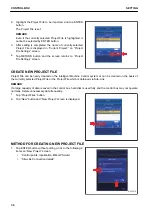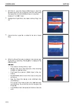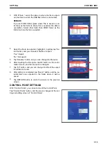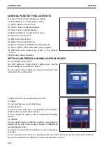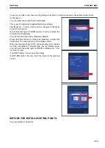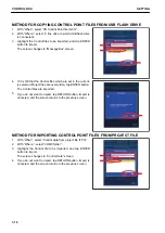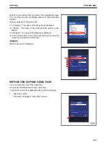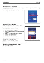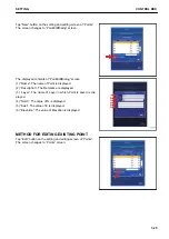
SELECT WORLD GEODETIC SYSTEM (WGS) COORDINATES
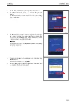
You can select “World Geodetic System”.
Tap “Coord. System” button on “Control points” setting screen.
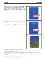
METHOD FOR USING LOCALIZATION
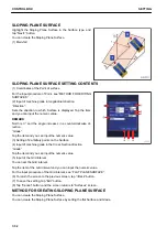
You can select “World Geodetic System”.
Select “Coord. system” tab, and select “Use localization”.
The Control Point which is measured based on USA WGS84
“World Geodetic System 1984” is used.
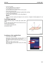
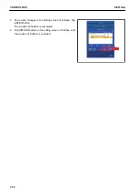
METHOD FOR USING PREDEFINED PROJECTION
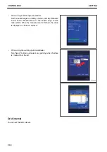
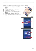
Select “Projection” tab, and highlight “World Geodetic System” to be used.
CONTROL BOX
SETTING
7-20
Содержание A31001
Страница 12: ...LOCATION OF SAFETY LABELS Options are shown with marks in the figure SAFETY LABELS SAFETY 2 4...
Страница 103: ...MAINTENANCE Please read and make sure that you understand the SAFETY section before reading this section 4 1...
Страница 106: ......
Страница 107: ...SPECIFICATIONS 5 1...
Страница 110: ......
Страница 111: ...ATTACHMENTS AND OPTIONS Please read and make sure that you understand the SAFETY section before reading this section 6 1...
Страница 116: ......
Страница 117: ...SETTING 7 1...
Страница 311: ...EXECUTIONS 8 1...
Страница 376: ...PC360LCi 11 PC390LCi 11 HYDRAULIC EXCAVATOR Form No CEAM032703...

