10
•
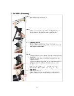
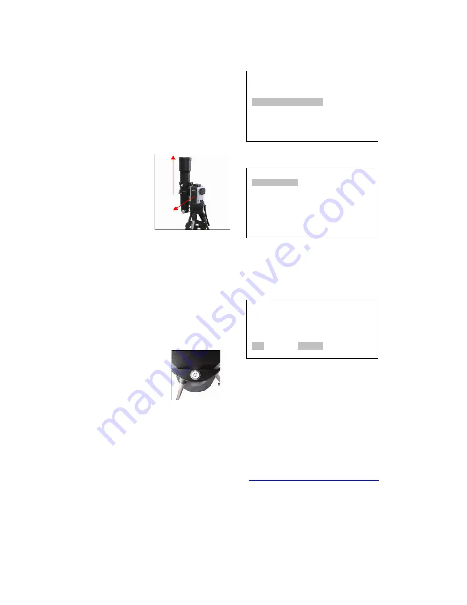
Level the Mount. Adjust the leg length to
make sure the bubble on the side of the
mount is centered. Turn the Mount
around to make sure it is always leveled.
It is also recommended to use additional
levels to assure very precise leveling.
Leveling is critical for a good GOTO
and tracking accuracy.
•
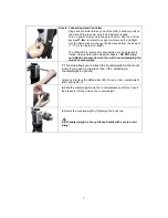
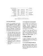
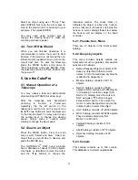
Face the South.
Align the Mount to
south by turning
the South mark
facing south. An
additional
compass may be
needed. There are
two ways to do so.
One is loosen the AZI lock (7) a little
and manually turn the Mount to face
south. Then tighten the AZI lock again.
The other is turn on the Mount. Turn the
Mount facing south using hand control.
Then turn off the power.
•
Point to Zenith. Unlock the ALT Lock
and turn the telescope to point up
directed at the Zenith.
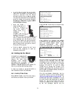
4.2. Setting Up the Mount
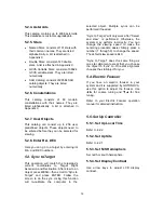
A CubePro is equipped with
a GPS receiver, which will
receive the local time,
longitude and latitude
information from a satellite
after the link is established.
However, manual input is still needed for
time zone and Daylight Saving setting.
A clear sky outside is needed for GPS to
communicate well with the satellites.
4.2.1. Set Up Time Zone
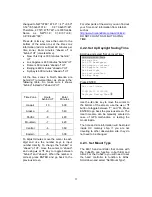
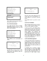
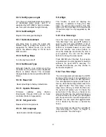
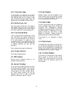
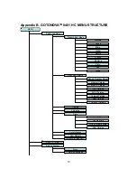
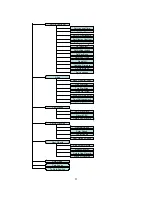
Press MENU button, from the main menu,
scroll down and select “
Set up controller
”
Press ENTER. Scroll down and select “Set
up site”
Press ENTER. The longitude and latitude
coordinates will be updated when the GPS
picks up satellite signals. “W/E” means
west/east hemisphere; “N/S” means
north/south hemisphere; “d” means degree;
“m” means minute; and “s” means second.
If for any reason your GPS can’t pick up a
signal you can manually enter the GPS
coordinates. Press
◄
or
►
key to move the
cursor and using
▲
or
▼
key to toggle
between “W” and “E”, “N” and “S”, using
number key to change the numbers. It is
always a good idea to do your home work to
get the GPS coordinates before traveling to
a new observation site.
The site coordinates information can be
found from internet, such as GPSVisualizer
(
http://www.gpsvisualizer.com/geocode
), by
entering the city name or address. In case
you only find the site information in decimal
format you can convert them into d:m:s
format by multiplying the decimal numbers
by 60. For example, N47.53 can be
Set up site info:
Longitude:
W071d27m47s
Latitude:
N42d15m40s
300 Min. behind of UT
Select and slew
Sync. to target
Electronic focuser
Set up controller
Align
PEC option
Set up Tracking
User objects
Set up Local Time
Set up site
Set N/S hemisphere
Set display contrast
Set Eyepiece light
Set Backlight
Set anti-backlash
Set Key Beep
Up
South

