System
: Enables NMEA 0183 output sentences for system
information.
Garmin
: Enables NMEA 0183 output sentences for Garmin
proprietary sentences.
Posn Precision
: Adjusts the number of digits to the right of the
decimal point for transmission of NMEA output.
XTE Precision
: Adjusts the number of digits to the right of the
decimal point for crosstalk error output.
Waypoint IDs
: Sets the device to transmit waypoint names or
numbers via NMEA 0183 while navigating. Using numbers
may resolve compatibility issues with older NMEA 0183
autopilots.
MMSI
: Allows you to enter your Mobile Marine Safety Identity
(MMSI) number.
Diagnostics
: Displays NMEA 0183 diagnostic information.
Defaults
: Restores the NMEA 0183 settings to the original
factory defaults.
Navigation Settings
NOTE:
Some settings and options require additional hardware.
Select
Settings
>
Navigation
.
Route Labels
: Sets the type of labels shown with route turns on
the map.
Turn Transition Activation
: Sets the turn transition to be
calculated based on time or distance.
Turn Transition Time
: Sets how many minutes before the turn
that you transition to it as the next leg, when Time is selected
for the Turn Transition Activation setting.
Turn Transition Distance
: Sets how far before the turn that you
transition to it as the next leg, when Distance is selected for
the Turn Transition Activation setting.
Route Start
: Selects a starting point for route navigation. You
can select Boat to start navigation from the current vessel
location, or Waypoints to start from the first waypoint on the
route.
Restoring the Factory Default Settings
NOTE:
This deletes all settings information you have entered.
Select
Settings
>
System
>
System Information
>
Factory
Settings
.
Appendix
Registering Your Device
Help us better support you by completing our online registration
today.
• Go to
.
• Keep the original sales receipt, or a photocopy, in a safe
place.
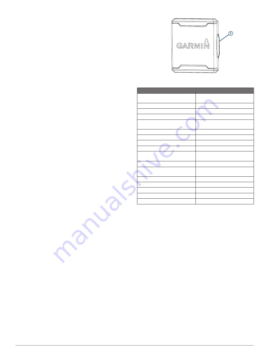
Sun Cover
The sun cover protects the screen when the device is not in use.
NOTE:
The sun cover is an optional accessory that is sold
separately.
To remove the cover, hold the cover at the tab
À
, and pull
forward.
FF 650 GPS Specifications
Item
Measurement
Dimensions (W x H x D)
176 x 190 x 81.8 mm (6.94 x 7.5 x
3.25 in.)
Weight
780 g (1.7 lbs)
Screen size
6 inch
Resolution (W x H)
480 x 800 pixels
Temperature range
From -15° to 55°C (from 5° to
131°F)
Input power
From 10 to 36 Vdc
Typical current draw
0.8 A
Max. power usage
23W @ 12 Vdc
Water rating*
IEC 60529 IPX7
Frequencies
Traditional: 50/77/200 kHz
CHIRP: 260/455/800 kHz
Transmit power (RMS)**
600 W
Max. depth***
701 m (2300 ft.) freshwater, 335 m
(1100 ft.) seawater at 77 kHz
Compass-safe distance
30 cm (11.8 in.)
Fuse
6 A
Max. waypoints
12,000
Max. routes
200
Max. active track points
50,000
*The device withstands incidental exposure to water of up to 1 m
for up to 30 min. For more information, go to
.
**Dependent upon transducer rating and depth.
***Dependent upon the transducer, water salinity, bottom type,
and other water conditions.
Troubleshooting
My device does not turn on
• Push the power cable all the way into the back of the device.
Even if the cable seems to be connected, you should push
firmly so that it is fully seated.
• Make sure the power source is generating power.
You can check this several ways. For example, you can
check whether other devices powered by the source are
functioning.
• Check the fuse in the power cable.
The fuse should be located in a holder that is part of the red
wire of the power cable. Check that the proper size fuse is
installed. Refer to the label on the cable or the installation
instructions for the exact fuse size needed. Check the fuse to
make sure there is still a connection inside of the fuse. You
can test the fuse using a multimeter. If the fuse is good, the
multimeter reads 0 ohm.
• Check to make sure the device is receiving at least 10 Vdc,
but 12 Vdc is recommended.
16
Appendix
Содержание FF 650 GPS
Страница 1: ...FF 650 GPS Owner s Manual ...
Страница 23: ......


