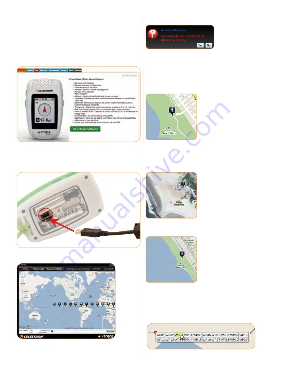
background image

8

VII. DATA MAPPINg SOFTWARe

Your reTrace

 Deluxe works with special software to give you a 

robust online experience. Using the software, you can upload 
all of your POIs and data of all your recorded trails which are 
displayed on up-to-date Google

®

 maps.

STEP 1.

 To download the software. Go to 

www.

celestron

.com


and navigate to your product. Follow this path: New Products> 
reTraceDeluxe. This will take you to this screen:

STEP 2.

 Once the software is downloaded, open the software 

on your PC. Next, using the included USB cord, connect your 
reTrace

 Deluxe to your PC. Make sure your device is turned on 

and click the “Connect” button.

STEP 3. 

To load data from your reTrace

 Deluxe, click the “Load 

from device” button.

This prompt will appear. Select “yes”.

Now all your information has been uploaded to the reTrace


Deluxe software. Let’s go through the 3 different features and 
tools the software offers.

1. WAYPOINTS AND POIs SCReeN

Your POIs will now show up on the map. You may have to zoom  
in to see them.

You can now see your saved POIs displayed over a Google

®

 map. 

There are 3 map choices.
  1  Map: A basic roadmap (shown above)
  2. Satellite: An up-to-date satellite photo


3.  Terrain: A geographical map with shading showing  
  topographical details

You can also add Waypoints and save them to your device using 
the reTrace

 Deluxe software. 

  Here are two ways to do this:
 

1. Using the cursor:


    –  Right click any location on the map with your cursor.  
      This window will appear


Map data ©2011 Google


Содержание 44856

Страница 1: ...INSTRUCTION MANUAL MODEL 44856 44857 ENGLISH...

Страница 2: ...e or lithium batteries in the direction marked inside the battery compartment Replace cover and screw down securely Replace the batteries when the display s Battery icon indicates low power 2 AAA batt...

Страница 3: ...places NOTE Waypoints are also referred to as POIs or Points of Interest 3 Distance to Waypoint Display This readout will display the distance to your selected Waypoint NOTE This is the straight line...

Страница 4: ...isual tools to help in pinpointing their position and orientation 12 8yd 12m 12 20 3D A C E B D F G A Waypoint POI or Trail Head Icon B Distance Line Shows direct distance from your position to the ma...

Страница 5: ...e Reading C Temperature Degree Icon D Temperature Unit F or C E Altitude Unit Ft feet or M meters From the Altitude and Temperature screen press the SCROLL key to get to the next screen the Barometer...

Страница 6: ...and it is summer add 1 hour to your setting For example if you are located on the west coast your GMT setting would be 8 00 To account for daylight savings add 1 00 to show the correct setting of 7 00...

Страница 7: ...he SET key 2 Manually set altitude To manually set the altitude benchmark press the CHANGE SETTING key once to highlight the Manual setting finger icon Press the POWER key to open the manual setting w...

Страница 8: ...To load data from your reTrace Deluxe click the Load from device button This prompt will appear Select yes Now all your information has been uploaded to the reTrace Deluxe software Let s go through th...

Страница 9: ...ata double click on the highlighted day and each log will appear under the calendar If you double click one of the logs that appear the information for that log will be displayed on the map and in the...

Страница 10: ...nd Notices GPS Systems and Location Accuracy Notice The Global Positioning System GPS is operated by the government of the United States of America which is solely responsible for its accuracy and mai...

Страница 11: ...reception inside a car Liability Notice In no event shall Celestron be liable for any incidental special indirect or consequential damages whether resulting from the use misuse or inability to use thi...

Отзывы:

Похожие инструкции для 44856