Carlson HydroStar Скачать руководство пользователя страница 9

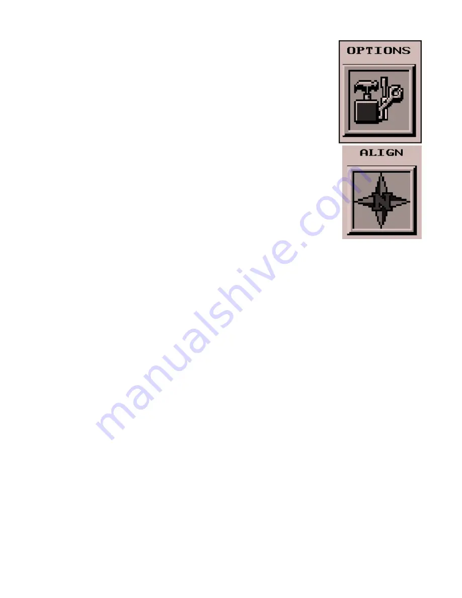
The Align function is located under the Options button from the main menu.

HydroStar reads a LAT/LONG position from the GPS1 receiver which is converted to
a state plane or UTM x,y,z coordinate. Using local coordinate points and their corre-
sponding GPS position, Align Local Coordinates applies a transformation to convert
the state plane coordinate to the local. HydroStar can operate in three different modes
depending on the Align Local Coordinate settings:

- No alignment
- One point alignment
- Two or more point alignment

Without Align Local Coordinates set, HydroStar will operate with no alignment and
use the state plane coordinates directly. In order for the coordinates to be the true state
plane coordinates in this alignment mode, the GPS base receiver must be set up over a
known point and the true Lat/Long for the point must be entered in the base as the base
position. Otherwise, if the base is set over an arbitrary point, then the coordinates will
not be true state plane.

In one point alignment mode, one pair of GPS and local coordinates is specified in Align Local Coordinates. The
differences between the GPS and local northing, easting and elevation for these points are used as the translation
distances in the transformation. The rotation will use either the state plane grid or the geodetic as north. The
rotation type is specified in the Options command. No scale is applied in this transformation.

One point alignment is useful for data collection on a new site. In this case you can set the GPS base receiver up
anywhere convenient. Then position the rover (GPS 1) over the first point and run Align Local Coordinates. Add
this one alignment point by reading the GPS point and entering a local coordinate like 5000,5000,100. Now the
local coordinate system is set around this first point at 5000,5000,100.

Two or more point alignment is used to align to an existing local coordinate system. At least two pairs of local
and GPS coordinates must be entered. Two pairs of points is sufficient to define the translation, rotation and
scale for the transformation. If more than two points are entered, the program will find a least squares best fit
transformation.

For entering the local coordinate, you can either enter the northing, easting and elevation or specify a point
number which refers to the coordinate file entered under General Options. To enter the GPS position that matches
this local coordinate, you can either set up the rover over the local point and read the GPS receiver or enter the
GPS LAT/LONG for that point. In order to use the LAT/LONG, you must set up the base over a known point and
enter the correct LAT/LONG at the base. Reading the position from the GPS receiver does not have this restric-
tion which allows you to set up the base at any point.

Since known alignment points are hard to come by on the water, we suggest you take HydroStar and GPS 1 to
land and set up over fixed points to do the alignment.  The alignment only needs to be done once as long as the
base doesn’t change its position or output.

Align

Содержание HydroStar

Страница 1: ...HydroStar Manual Version 2 0 December 6 1999 Carlson Software 102 West Second Street Suite 200 Maysville KY 41056 606 564 5028 617 254 5429...

Страница 2: ...Software assumes no responsibility to anyone for any special consequential collateral or incidental damages in connection with or arising from the use of this software I agree Carlson Software can ma...

Страница 3: ...to the two GPS receivers mounted on the barge The two receivers on the barge are attached by serial cable to the computer running HydroStar HydroStar uses the centimeter accurate positions from the tw...

Страница 4: ...tical points on the barge the two GPS antennas and the pile driver or depth sounder The barge must be drawn correctly in order to appear correctly in HydroStar The barge should be drawn so that GPS An...

Страница 5: ...rees to radians multiply by 0 017453 The second measurement is the distance from GPS1 to the center of the pile placed by the pile driver This measurement should be in the same units your project is i...

Страница 6: ...le All points are stored in the coordinate file Click on this button to change the current file or create a new one The coordinate file is stored in the Data directory RMS Tolerance RMS is a measureme...

Страница 7: ...o Load Last Alignment With this set to Yes HydroStar will always use the last alignment points This saves you the trouble of re aligning every day but your base must be set up the same each time See t...

Страница 8: ...y response from the receiver will be displayed Please refer to the GPS receiver docu mentation for descriptions of these additional receiver commands Simulation Mode To run HydroStar without being hoo...

Страница 9: ...int alignment is useful for data collection on a new site In this case you can set the GPS base receiver up anywhere convenient Then position the rover GPS 1 over the first point and runAlign Local Co...

Страница 10: ...Northing Easting Elev HRes VRes HV 5000 00 5000 00 993 50 0 0 0 0 YY 5324 52 4739 43 970 23 0 0 0 0 YY 1 Add 2 Del 3 View 4 On 5 Load X eXit LAT LON Elev HRMS VRMS HV 41 153943 83 031243 992 87 0 03...

Страница 11: ...ELEV These are the local coordinates if a local alignment is defined Otherwise these are the state plane coordinates The Solution Status is one of the following Too Few Satellites The GPS receiver is...

Страница 12: ...oad Actual Grid File This can be left with nothing selected Load Plan View File This is the drawing showing the plan view of the site It is used only as a visual aid for you HydroStar does not take an...

Страница 13: ...g Easting and Elevation when prompted If the point you want already exists in your coordinate file pick By Point Number and enter the point number of this point To do By Station and Offset you must ha...

Страница 14: ...ns and is calculating an accurate position If the status is FLOAT the reciever is picking up some information from the base but is not fully sure of its true position If the status is AUTONOMOUS the r...

Страница 15: ...HydroStar to PCMCIA Card The routines apply to computers that have a PCMCIA drive The drive letter for the PCMCIA drive on the computer should be specified under the Options menu The program will dis...

Страница 16: ...e depth reported by the sounder from the GPS elevation The Rod Height setting in General Options should show the height difference between the GPS1 antenna and the zero point for the depth sounder The...

Страница 17: ...ht Gray 15 White Plan View Example POLYLINE 15 47639 82 74540 11 0 00 47670 49 74565 79 0 00 47701 08 74591 49 0 00 49375 61 76358 47 0 00 50066 86 76846 75 0 00 POLYLINE 15 47633 24 74547 97 0 00 476...

Отзывы: