13
The mineralogy of the surrounding rock may also cause local
variations – even the complete reversal of the field in some
rare cases.
A representation of the Earth’s magnetic field is shown
in
Figure 1
. Note that Magnetic North is a few degrees away
from True North and that the Magnetic North Pole is actually
a ‘south pole’. The arrows on the magnetic field lines show
the direction which a compass needle placed on that line
would point. Opposites attract, and the north-seeking pole
of the compass needle is attracted to a south-seeking pole
in the planet’s core.
The strength and direction of the Earth’s field also varies
with time. The Earth’s molten iron core is in constant motion,
and the position of the North and South poles on the planet
is gradually changing. Map makers mark the deviation
(and the rate of change of this) on their maps.
The field also varies as a result of the interaction of the planetary
magnetic field with the solar wind and, at times, this can make
the field noisy and unpredictable. The M-Scan compensates for
all these changes to make finding objects in the ground easier.
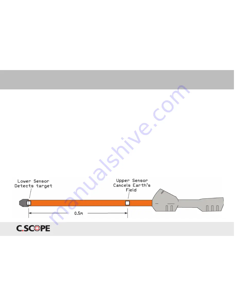
The M-Scan has two sensors in the long metal tube, spaced
approximately 20 inches/ 50cms apart. The upper sensor,
that is the one closest to the control housing, mainly picks
up the “background” field - usually the Earth’s magnetic field -
and the electronics uses this to cancel out the background
field. The lower sensor is closest to the ground, and is
more strongly affected by the field from target object
in the ground. This differential arrangement is sometimes
referred to as a “gradiometer”. It makes the M-Scan insensitive
to the Earth’s field, whatever its orientation and strength.
Figure 2 The C-Scope M-Scan with two sensors spaced apart.
Application Note 1. Understanding the M-Scan Magnetometer
Содержание M-SCAN
Страница 1: ......


