56
>>>
NAVIGATIONAL MODE
> D
> GB
> F
> I
> E
> P
> NL
> DK
> S
> N
> FIN
> TR
> GR
> PL
> CZ
> H
> SK
>
Define the settings you want.
>
Press the
button.
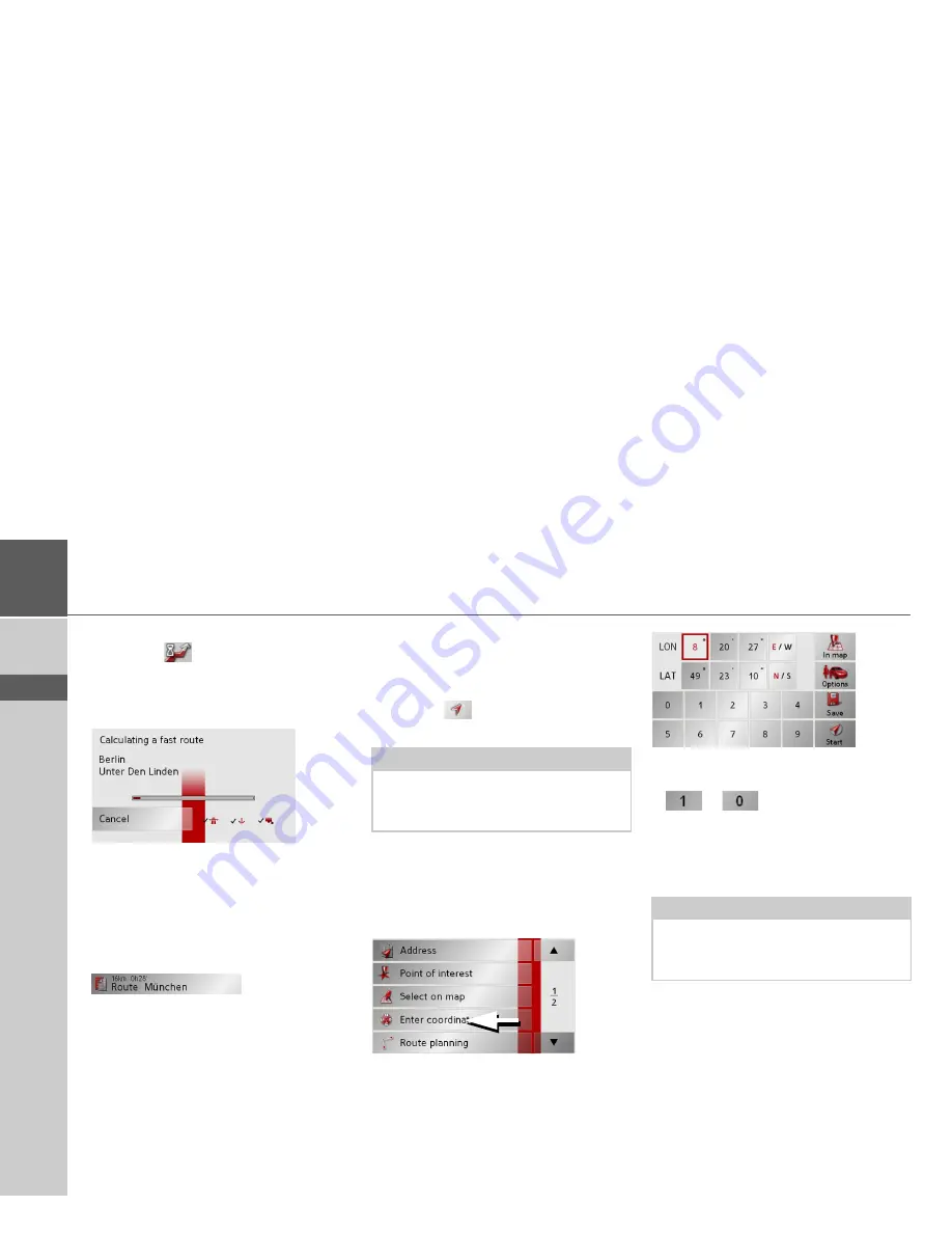
The route is calculated. A window in-
forms you of the progress of the calcula-
tion.
Once the calculation is complete, the total
distance from the first to the last points on
the route and the probable length of the
journey for this route are displayed in the
Route planning
window under the list of
route points.
The Start key
>
Press the
Start
key in the route planning
menu.
The route options are displayed again.
>
Press the
key again to start naviga-
tion.
Navigation menu: Enter
coordinates
You can also enter a destination via
geographic coordinates.
>
Press
Enter coordinates
in the
navigation menu.
>
Select the value you wish to change.
>
Then enter the desired values using the
to
buttons.
>
You can set the direction of the
longitude and latitude via
LON
and
LAT
using the right-hand buttons in the
row.
>
Press the
Start
button to start route
guidance to the entered coordinates.
Note:
If no GPS signal is available, route guid-
ance is started automatically as soon as a
signal is received.
Note:
The coordinates entered must
correspond to WGS84 (World Geodetic
System 1984).
Содержание Traffic Assist Z 200
Страница 1: ...Operating instructions...


