takwak Software Suite
www.takwak.com
takwak tw700 version 1.30
28
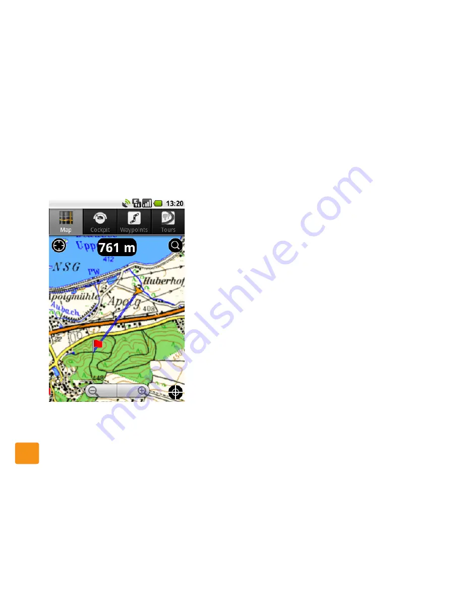
tion. The distance to the waypoint is shown at the top
of the map. The bearing (direction to the waypoint) is
shown as a blue line:
The distance and the bearing are updated dynamically
as you move.
In Map View, press Menu and choose Stop Bearing to
clear the bearing information.
Route
: Tap Route to use the selected waypoint as the
destination of a route calculation. See
Fig. 10
on
page 27 and
“Route Calculation”
on page 72.
Tours View
Tap the Tours button to show Tours View. This lists all
of the tours (tracks) which you have recorded and
saved.
You can also load tour recommendations as gpx files
from popular outdoor sports web sites and share the
tours you have recorded with other outdoor enthusi-
asts. Visit
www.takwak.com
and choose Tour Planner
if you want to plan your tour online or download a tour
from the internet database.
Fig. 11: Bearing and distance to a waypoint
Summary of Contents for tw700
Page 1: ......
Page 2: ......
Page 94: ...Android settings www takwak com takwak tw700 version 1 30 92...
Page 104: ...Legal Notice tw700 www takwak com takwak tw700 version 1 30 102...


