530
442700/A
Range Projection function
The distance to a target located anywhere in the water column can be measured in two
ways. This can either be the horizontal distance to the target (
True
), or along the tilt
angle (
Slant
). The
Range Projection
function defines how this distance is measured.
This function is opened from the
Active
menu.
Related topics
Using maps, page 152
Functions and dialog boxes, page 413
Display menu; Functions and dialog boxes, page 435
Display Options dialog box, page 443
Cosmetics menu, page 406
Safety Depth page, page 530
Map Setup page, page 599
Safety Depth page
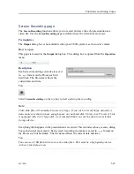
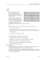
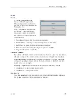
Once a map service has been chosen, use
Map Display
to choose which map elements to
include in the map presentation. The
Safety Depth
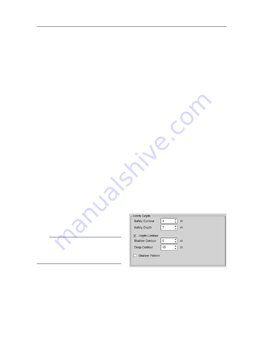
page allows you to change the safety
depth settings, and thus the presentation of the various water depths.
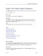
How to open
This page is located in the
Display Options
dialog box. The
Display Options
dialog box is
located on the
Display
menu.
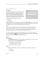
Description
Once a map is projected on top of the
echo data, the depth contour lines are
drawn with specific colours.
Note
The map is only shown in Horizontal
views when
Range Projection
is set to
True.
Details
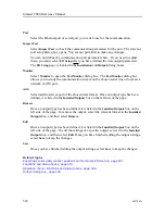
Safety Contour
The
Safety Contour
function specifies and shows a safety contour line. The line is
marked with depth values at regular intervals. The area inside the safety contour line
is marked with a light blue colour to indicate unsafe waters. If the map does not have a
Simrad CS90 Reference Manual
Summary of Contents for Simrad CS90
Page 1: ...kongsberg com simrad Simrad CS90 REFERENCE MANUAL ...
Page 2: ......
Page 627: ...442700 A 625 Related topics Concept descriptions page 622 Concept descriptions ...
Page 683: ......
Page 684: ... 2021 Kongsberg Maritime ISBN 978 82 8066 213 2 ...
Page 685: ......
Page 686: ...Reference Manual Simrad CS90 ...


