


152
442700/A
Using maps
Topics
Enabling and disabling the map presentation, page 152
Selecting which map elements to include in the display presentation, page 153
Setting up the presentation of the depth lines in the map, page 154
Choosing a map provider, page 154
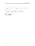
Enabling and disabling the map presentation
The CS90 system allows you to place a geographical map on top of the echo presentation.
The purpose of the map is to make it easier to understand the echo data from the CS90
system. The map must
not
be used for navigation.
Context
The map is only shown in
Horizontal
views when
Range Projection
is set to
True
.
Procedure
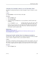
1
At the bottom of the display presentation, select a suitable presentation mode, and
activate the
Horizontal
view.
2
Open the
Active
menu.
3
Set
Range Projection
to
True
.
The distance to a target located anywhere in the water column can be measured in two
ways. This can either be the horizontal distance to the target (
True
), or along the tilt
angle (
Slant
).
4
Open the
Display
menu.
5
Select
Cosmetics
to open the menu.
6
Set
Map
to
On
.
This is an "on/off" switch. Use
Map
to enable or disable the geographical map layer.
Note
The map must not be used for navigation.
Simrad CS90 Reference Manual
Summary of Contents for Simrad CS90
Page 1: ...kongsberg com simrad Simrad CS90 REFERENCE MANUAL ...
Page 2: ......
Page 627: ...442700 A 625 Related topics Concept descriptions page 622 Concept descriptions ...
Page 683: ......
Page 684: ... 2021 Kongsberg Maritime ISBN 978 82 8066 213 2 ...
Page 685: ......
Page 686: ...Reference Manual Simrad CS90 ...


