


Compass Rose
: Shows a compass rose around your boat,
indicating compass direction oriented to the heading of the
boat. Enabling this option disables the Wind Rose option.
Vessel Icon
: Sets the icon that represents your present location
on the chart.
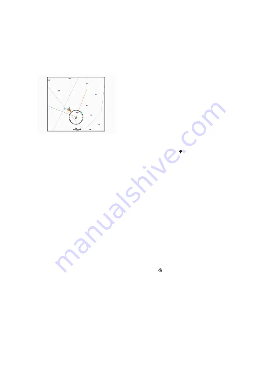
Laylines Settings
To use the laylines features, you must connect a wind sensor to
the chartplotter.
When in sailing mode
, you can
display laylines on the navigation chart. Laylines can be very
helpful when racing.
From the navigation chart, select
Menu
>
Layers
>
My Vessel
>
Laylines
>
Setup
.
Display
: Sets how the laylines and vessel appear on the chart,
and sets the length of the laylines.
Sailing Ang.
: Allows you to select how the device calculates
laylines. The Actual option calculates the laylines using the
measured wind angle from the wind sensor. The Manual
option calculates the laylines using manually entered
windward and leeward angles.
Windward Ang.
: Allows you to set a layline based on the
windward sailing angle.
Leeward Ang.
: Allows you to set a layline based on the leeward
sailing angle.
Tide Correction
: Corrects the laylines based on the tide.
Layline Filter
: Filters the layline data based on the time interval
entered. For a smoother layline that filters out some of the
changes in the boat's heading or true wind angle, enter a
higher number. For laylines that display a higher sensitivity to
changes in the boat's heading or true wind angle, enter a
lower number.
User Data Layer Settings
You can show user data, such as waypoints, boundaries, and
tracks, on the charts.
From a chart, select
Menu
>
Layers
>
User Data
.
Waypoints
: Shows waypoints on the chart and opens the list of
waypoints.
Boundaries
: Shows boundaries on the chart and opens the list
of boundaries.
Tracks
: Shows tracks on the chart.
Other Vessels Layer Settings
NOTE:
These options require connected accessories, such as
an AIS receiver, radar, or VHF radio.
From a chart, select
Menu
>
Layers
>
Other Vessels
.
DSC
: Sets how DSC vessels and trails appear on the chart, and
shows the DSC list.
AIS
: Sets how AIS vessels and trails appear on the chart, and
shows the AIS list.
MARPA
: Sets how MARPA vessels and trails appear on the
chart, and shows the MARPA list.
Details
: Shows other vessel details on the chart.
Proj. Heading
: Sets the projected heading time for AIS-
activated and MARPA-tagged vessels.
Collision Alarm
: Sets the safe-zone collision alarm (
).
Water Layer Settings
From a chart, select
Menu
>
Layers
>
Water
.
Depth Shading
: Specifies an upper and lower depth to shade
between.
Shallow Shading
: Sets the shades from the shoreline to the
specified depth.
Spot Depths
: Turns on spot soundings and sets a dangerous
depth. Spot depths that are equal to or more shallow than the
dangerous depth are indicated by red text.
Fishing Contours
: Sets the zoom level for a detailed view of
bottom contours and depth soundings and simplifies map
presentation for optimal use while fishing.
Relief Shading
: Shows the gradient of the bottom with shading.
This feature is available only with some premium maps.
Sonar Imagery
: Shows sonar imagery to help show the density
of the bottom. This feature is available only with some
premium maps.
Lake Level
: Sets the present water level of the lake. This
feature is available only with some premium maps.
Weather Layer Settings
From the Navigation or Fishing chart, select
Menu
>
Layers
>
Chart
>
Weather
> .
From a weather chart, select
Menu
>
Layers
>
Chart
>
Weather
.
Observed Layers
: Sets which observed weather items are
shown. Observed weather is the present weather condition
that are visible now.
Forecast Layers
: Sets which forecasted weather items are
shown.
Layer Mode
: Shows forecasted or observed weather
information.
Loop
: Shows a loop of forecasted or observed weather
information.
Legend
: Shows the weather legend, with the severity of the
conditions increasing from left to right.
Weather Subscription
: Shows weather subscription
information.
Restore Defaults
: Resets the weather settings to factory default
values.
Edit Overlays
: Adjusts the data shown on the screen
(
).
Radar Overlay Settings
From the Navigation or Fishing chart, select
Menu
>
Layers
>
Radar
> .
From a radar screen, select
Menu
.
Radar To Standby
: Stops radar transmission.
Gain
: Adjusts the gain (
Adjusting Gain on the Radar Screen
).
Sea Clutter
: Adjusts the sea clutter (
).
Radar Options
: Opens the radar options menu (
).
Other Vessels
: Sets how other vessels are displayed on the
radar view (
).
Radar Setup
: Opens the radar display settings (
).
Edit Overlays
: Adjusts the data shown on the screen
(
).
12
Charts and 3D Chart Views
Summary of Contents for GPSMAP 8600 series
Page 1: ...GPSMAP 8400 8600SERIES Owner sManual...
Page 67: ......
Page 68: ...support garmin com December 2018 190 01978 00_0H...


