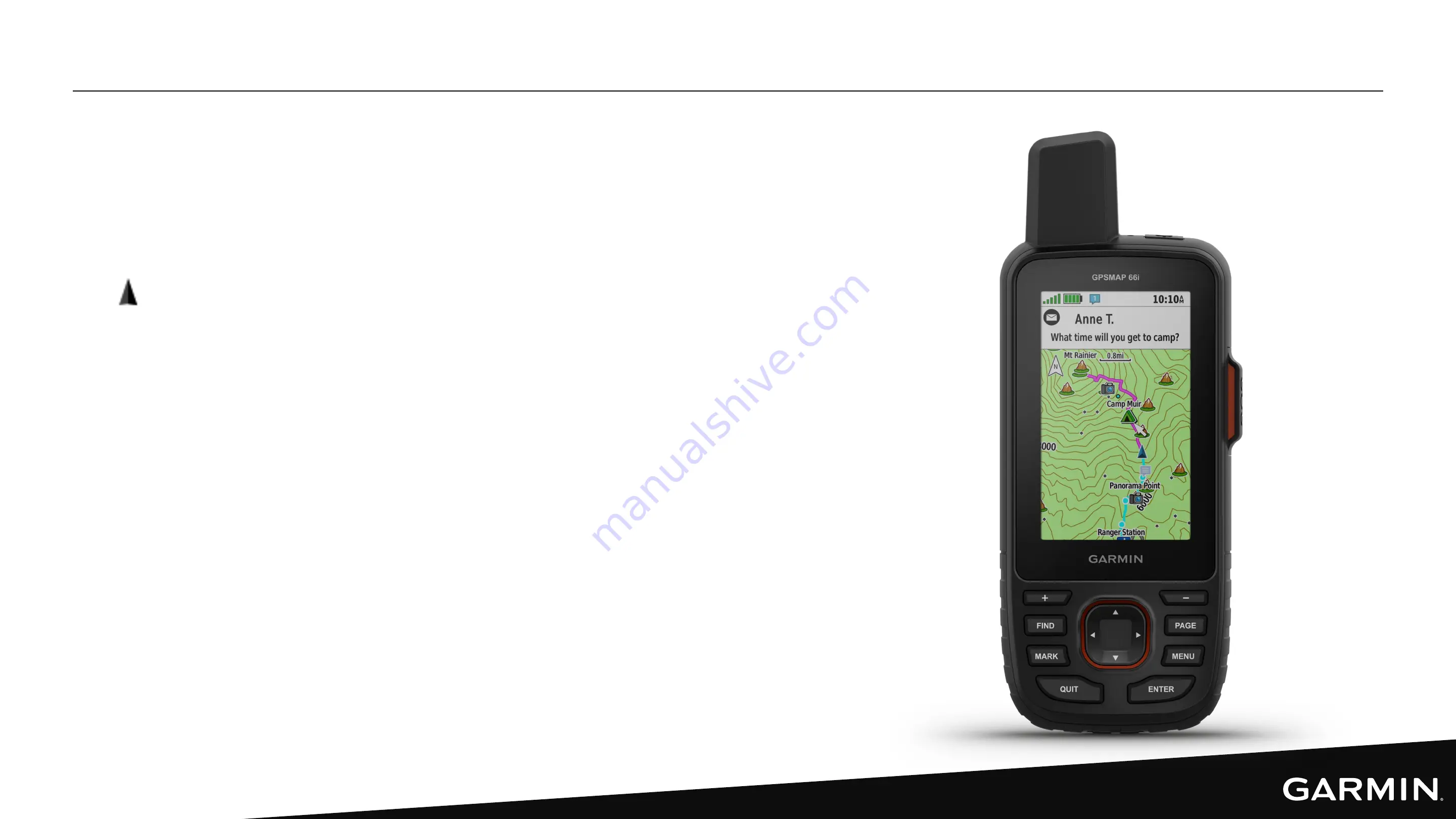
MAP PAGE – GPSMAP 66i
Preloaded TopoActive maps show you contours,
elevations, summits, parks, coastlines, rivers, lakes,
geographical points, roads and trails.
•
represents your location on the map, moves
and displays your path as you travel
• Zoom in on the map to see more detail
• Depending on your zoom level, waypoint names
and symbols may appear on the map
• When navigating to a destination, your course is
marked with a colored line on the map
• To control Map settings, including map layers,
orientation, etc.: Map page > MENU button > Map
Setup > Configure Maps
Summary of Contents for GPSMAP 66i
Page 2: ...inReach Field Experience Webinar GPSMAP 66i In Depth inReach Field Experience Webinar ...
Page 3: ...INTRODUCTION Chip Noble Product Manager Garmin Avid Outdoorsman GPSMAP 66i User ...
Page 4: ...DEVICE OVERVIEW ...
Page 12: ...OVERVIEW OF KEY PAGES MENUS ...
Page 21: ...GARMIN EXPLORE WEBSITE ...
Page 27: ...SYNCING AND FIRMWARE UPDATES ...
Page 30: ...MESSAGING ...
Page 41: ...MAPS ...
Page 47: ...MAPSHARE ...
Page 50: ...TRACKING RECORDING AND NAVIGATION TERMINOLOGY ...
Page 52: ...TRACKING RECORDING ...
Page 57: ...NAVIGATION ...
Page 70: ...WEATHER FORECASTS ...
Page 74: ...SOS ...


