THEA-130 / 160 Sprayer Drone
User Manual
©
2019 FOXTECH All Rights Reserved
39
Software terminal connection method
RTK work flow
Turn on your mobile phone Bluetooth:then match the devices with the default password 1234.
1. First work:
Connect your mobile phone and the base station:and save the position of the base station.
·Purpose of saving the position of the base station: In order to fix the position of the base station when
working in the same area the next time. It can ensure accuracy of navigation if the base station is in the
same position(less than 5m) in the same region using the same route. If the situation doesn’t match, the
accuracy of navigation will be reduced, but it won’t affect the work. So you should select whether it needs to
fix the position of the base station, if not, you don’t need to save the position.
Specific methods of operation:
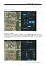
Switch the “route planning” interface on your mobile phone, and click “connect RTK base station”
·When prompted “connection XXX success”, it means that Bluetooth connection is successful.
When prompted “connection XXX failed”, it means that Bluetooth connection is failed.
·When prompted “receive RTK base station data successfully”, it means that the data we received is right.
·If it’s prompted “receiving data” for a long time, it means that Bluetooth connection is successful, but it
hasn’t received effective data, please wait.
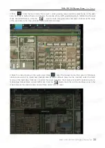
If RTK base station data is right, the position of RTK base station will be displayed on map at real time (blue
point).
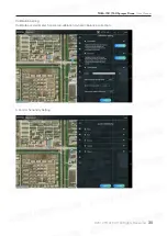
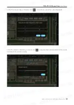
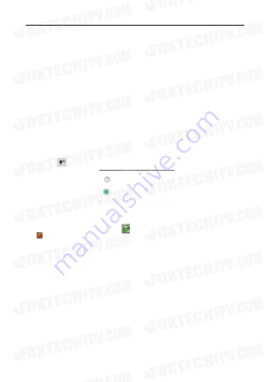
If you click the , as shown below will appear:
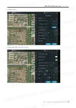
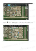
Click “mapping model in the field”, then click , the position of RTK base station will be displayed on
map . at the same time, the ground station will save the position as file (in Boying-GCS/RTK/ , the suffix
name is .rtkbase). You can mark many points on map, every point you mark will be saved as file separately.
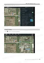
After marking points of position of the base station, click “disconnect RTK base station” in the upper right
corner.
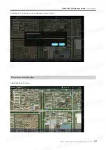
Select the type of area point to be added.
RTK Base station position.
Cancel
Mapping Model In the Field

