Chengdu Ebyte Electronic Technology Co., Ltd
Copyright ©2012–2019
,
Chengdu Ebyte Electronic Technology Co., Ltd
4
GGA: time, location, number of satellites;
GSA: GPS receiver operating mode, satellite used for positioning, DOP value, positioning status;
GSV: visible GPS satellite information, elevation, azimuth, signal-to-noise ratio;
RMC: time, date, location, speed;
VTG: ground speed information;
For detailed meaning, please refer to Section 3 NMEA0183 protocol;
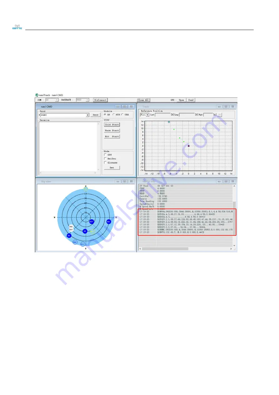
For ease of use, we recommend using the exclusive tool TaviTrack for debugging. For detailed usage, please refer to
the “naviTrack User Manual”
1. Run naviTrack. With administrator privileges, run as above;
2. Select the corresponding com port and click connect. After the connection is successful, you can see the
reported data in the NMEA window.
For detailed meaning, please refer to the description in the third section of NMEA0183 protocol;
3. After positioning, you can get the latitude and longitude information in the $ GPRMC field reported by the
serial port. For more detailed tool usage information, please refer to the manual in the toolkit.


