background image


and data post-processing; 

 Serial port:The sounder outputs the bathymetric data in SDDPT format through 

the serial port. 

3. Depth finder web page introduction 

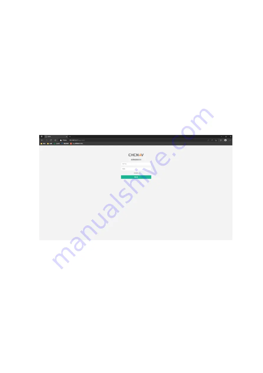
After  connecting  the  computer  to  WIFI:  D270-XXXXxxx,  you  can  enter 

192.168.53.27 in the browser to enter the web page of the D270. 


3.1


Parameter Settings 

Summary of Contents for D270

Page 1: ...D270_User_Manual...

Page 2: ...le of the depth sounder please contact us for technical advice and training Liability exemption Before using this product please read this manual carefully The information data and illustrations conta...

Page 3: ...chnology Co LTD Website opened the service and download section if you have questions can leave a message through the feedback or directly call the technical consultation telephone 4006206818 we will...

Page 4: ...nder 4 3 Depth finder web page introduction 5 3 2 Storage and Download 7 3 3 The map 8 3 4 System Settings 9 4 Supporting Software Introduction HydroSurvey 9 4 1 Create a new project 9 4 2 Data access...

Page 5: ...an also be installed separately on the manned boat rubber boat and other floating platforms The left interface of the soundsinometer Transducer is the transducer interface Power is the power supply an...

Page 6: ...e open the screen display The depth sounder has no switch button of the whole machine It will start automatically when powered on and shut down when powered off Screen Information Description 1 2 Inst...

Page 7: ...he probe surface clean 4 The immersion depth of the sensor probe is recommended to be about 50cm this distance can be increased or decreased according to the flow speed of the river 2 Introduction to...

Page 8: ...uts the bathymetric data in SDDPT format through the serial port 3 Depth finder web page introduction After connecting the computer to WIFI D270 XXXXxxx you can enter 192 168 53 27 in the browser to e...

Page 9: ...etooth obtain positioning data and set parameters of RTK antenna to water surface and transducer Parameter Settings Can set the sounder parameters range gain draft frame rate data format working mode...

Page 10: ...3 2 Storage and Download Data Storage Record1 starts automatically upon startup by default and starts recording automatically when water depth data and GNSS data are detected...

Page 11: ...ftware Record3 and RECORD4 are reserved for use The data download Download the measurement data stored in the depth sounder and select the corresponding date data to download 3 3 The map The satellite...

Page 12: ...ct the file first and then click Start Upgrade Bathymetry firmware upgrade For the firmware upgrade operation of the sounding part first select the file and then click Start Upgrade Factory reset Clic...

Page 13: ...vertical adjustment which should be consistent with the coordinate system parameters in the handbook If there is a base station translation the base station translation parameters should be input in...

Page 14: ...Open the HydroSurvey software go to Settings System Settings Double click Sounder1 use the Settings shown in the following image and check Connect...

Page 15: ...depth sounder RTK After connecting the D270 to the computer through the serial port open the Hydrosurvey software click Settings System Settings Double click Sounder1 as shown in the following figure...

Page 16: ...Setting Recording Control The recording mode can be recorded by time or by distance the recording limit can be fixed solution the RMS limit can be checked or not checked and the RMS information chang...

Page 17: ...Figure Set Recording Control 4 4 Measure Mode Click Settings Work Mode Measure Mode with the left mouse button The left screen displays local coordinates and water depth...

Page 18: ...easure Start to display the interface for setting line survey information The default setting of line survey name and line survey number is enough Automatic line change Select 3500 points for automati...

Page 19: ...der of the raw data files dep as shown in figure Figure Depth Sample Select the dep file in the right lateral line list As shown in the figure water surface elevation value is displayed on the upper l...

Page 20: ...mple After processing the dep files in turn select all the dep files in the side line list you can also select all of them and set the sampling interval such as 1 sampling a point every 5 meters on th...

Page 21: ...Figure Sample Figure Generate the HTT file...

Page 22: ...ect Open Htts select all the HTT files you want and select the appropriate file type The navigation software provides a variety of export formats to choose from or you can customize the export format...

Page 23: ...Figure Export a custom format...

Page 24: ...following measures Reorient or relocate the receiving antenna Increase the separation between the equipment and receiver Connect the equipment into an outlet on a circuit different from that to which...

Reviews: