‐
22
‐
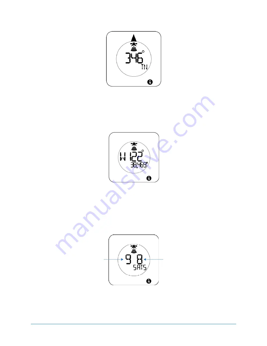
Figure
15:
You
will
see
something
like
this
when
viewing
your
heading
The
latitude
and
longitude
values
are
in
the
WGS
‐
84
coordinate
system
and
expressed
in
decimal
minutes.
The
height
value
is
height
above
the
WGS
‐
84
ellipsoid
which
approximates
mean
sea
level.
Figure
16:
This
is
an
example
of
what
a
longitude
would
look
like
When
viewing
the
satellite
tracked
and
used
information,
you
will
see
two
numbers.
The
one
on
the
left
is
the
number
of
satellites
that
your
Geomate.jr
is
currently
tracking.
The
number
of
the
right
however
is
the
number
of
satellites
that
your
Geomate.jr
is
actually
using
to
calculate
its
position.
Number of GPS
satellites tracked
Number of GPS
satellites used
Figure
17:
Here’s
an
example
of
viewing
the
satellites
tracked
and
used


