30
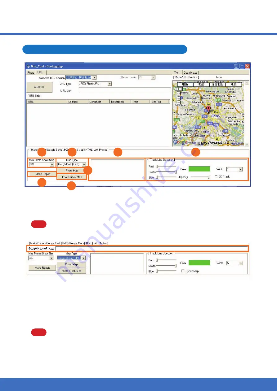
Create a track file including photos and URL link
Max. Photo Show Size: Select a size of photo shown on your track.
1.
Map Type: Google Earth or Google Maps.
2.
NOTE
When you choose Google Maps, the extra function of Google Maps API Key as
below will show up.
Track Line Option: Set the color, transparency and width of the track line, also tick the
3.
item of “3D Track” if you need the track on Google Earth with height.
NOTE
When you choose Google Maps, the item of “Hybrid Map” will show up instead
of “3D Track”. Tick it if you prefer the map consisted of road and satellite
image.
7.
5.
1.
2.
4.
6.
3.
Please key in your exclusive “Google Maps API Key” if you want to share your
track in your Blog.
Содержание WPL-2000
Страница 1: ...1...
Страница 35: ...32 A Complete Report File 7 5 1 2 4 6 3...
Страница 46: ...43...


