


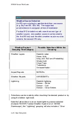
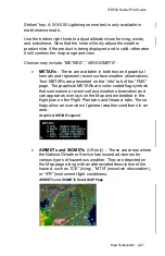
IFD500 Series Pilot Guide
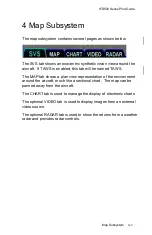
4-12 Map Subsystem
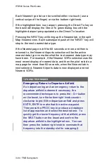
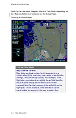
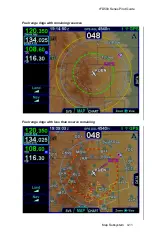
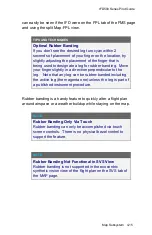
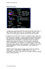
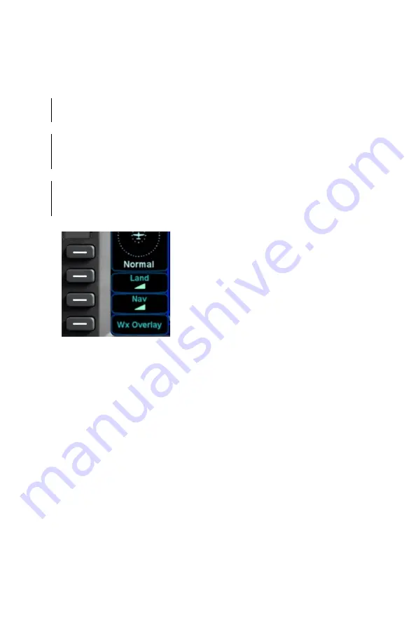
DECLUTTERING THE MAP
Two LSKs along the left edge of the display
, “Land” and “Nav”, allow
for separate control of the information density of the land map
features (e.g. terrain, political boundaries, rivers, lakes, oceans,
roads, etc.) and the navigational map features (e.g. airspace, Victor
and Jet airways, airports, obstacles, navaids, etc.), respectively.
Use the “Land” and/or “Nav” LSK to select the preferred level of
feature density. The selected levels remain consistent across all
maps shown on the IFD.
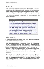
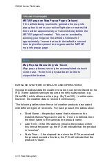
Map Declutter Controls
Содержание IFD510
Страница 1: ......
Страница 75: ...IFD500 Series Pilot Guide SVS Subsystem 2 9 Yellow Obstacle Threat Bubble Red Obstacle Threat Bubble ...
Страница 140: ...IFD500 Series Pilot Guide 3 50 FMS Subsystem Weather Data on Info Tab Info Tab Nearby Navaids ...
Страница 150: ...IFD500 Series Pilot Guide 3 60 FMS Subsystem User Waypoint Airfield Naming Example ...
Страница 156: ......
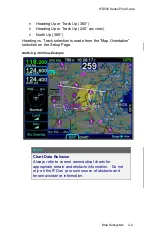
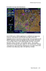
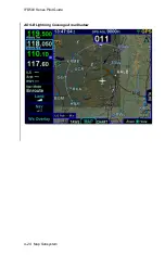
Страница 180: ...IFD500 Series Pilot Guide 4 24 Map Subsystem ADS B Lightning Coverage Area Shadow ...
Страница 217: ...IFD500 Series Pilot Guide Map Subsystem 4 61 Map SVS Fly By Waypoint Depiction Map SVS Missed Approach Not Activated ...
Страница 218: ...IFD500 Series Pilot Guide 4 62 Map Subsystem Map SVS Close in of Landing Runway Map SVS Missed Approach Enabled ...
Страница 252: ...IFD500 Series Pilot Guide 5 16 Aux Subsystem Trip Statistics Calculator ...
Страница 369: ...IFD500 Series Pilot Guide Navigation 6 33 Enable Missed LSK Enabled Missed Approach in Flight Plan ...
Страница 459: ...IFD500 Series Pilot Guide General 7 81 Bluetooth pairing keyboard discovered Bluetooth pairing Pair Device LSK ...
Страница 460: ...IFD500 Series Pilot Guide 7 82 General Bluetooth pairing pairing code ...