Other functions
Monitoring data and engines
Viewing video images
Navtex and Sirius Weather Data
Sirius Weather Data (continued)
Autopilot Control
Understanding tha digital radar
Operating a networked E-Series Display
Card 20
Card 20
Card 21
Card 22
Card 23
Card 24
Card 25
What's under the boat?
Understanding the fishfinder
Using the fishfinder
Card 18
Card 19
Where am I going?
Monitoring a course
Card 17
What is around me?
Understanding the radar
Avoiding a collision
Using MARPA
AIS
Card 13
Card 14
Card 15
Card 16
Basic Navigation
Working with waypoints
How do I get to a point?
Card 11
Card 12
What can I see?
Understanding the chart
Using the chart
Displaying additional information
Displaying additional information (continued)
Understanding the 3D chart
Using the 3D chart
Card 5
Card 6
Card 7
Card 8
Card 9
Card 10
General Operation
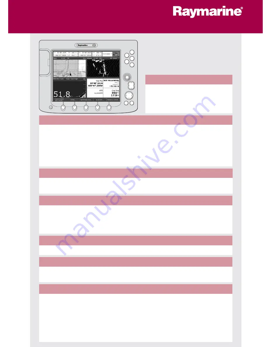
The control panel
Using the controls
Setting up the display
Using CompactFlash cards
Card 1
Card 2
Card 3
Card 4
D6721_5
PAGE
ACTIVE
WPTS
MOB
MENU
DATA
CANCEL
OK
RANGE
IN
OUT
E-Series Display
Operating Guide
www.raymarine.com