


User Manual
User Manual
User Manual
User Manual
User Manual
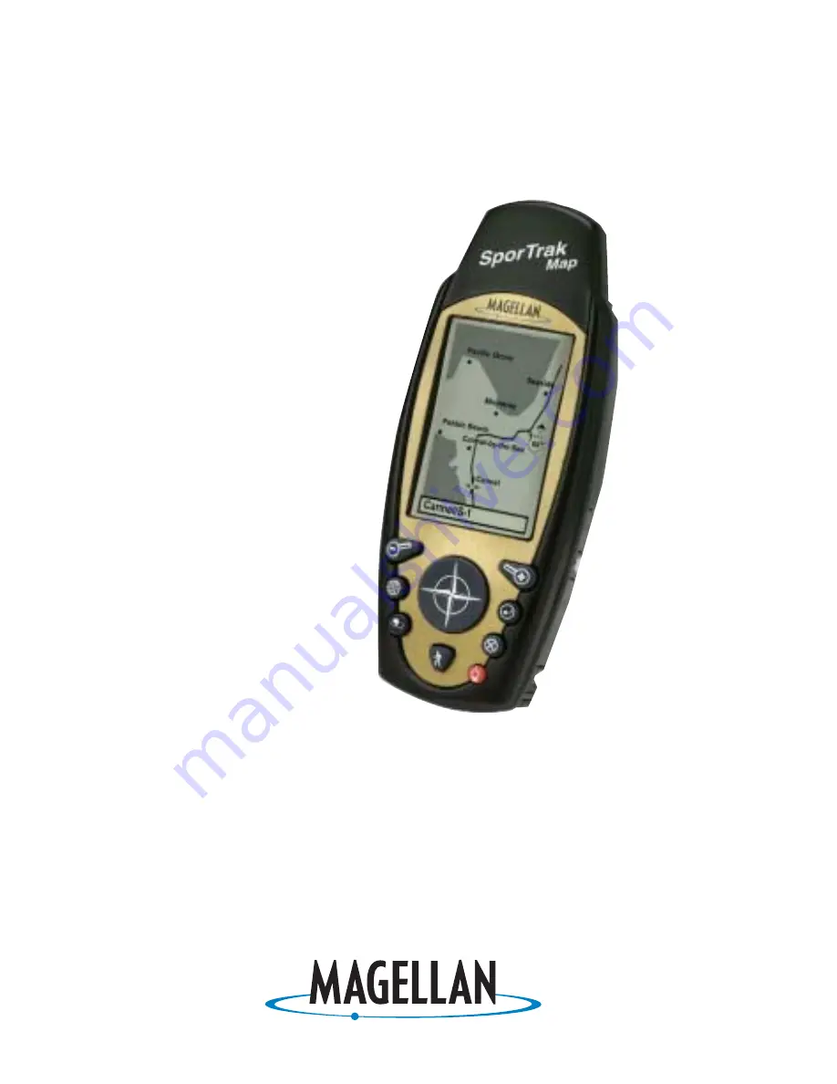
SporTrak Series of GPS
SporTrak Series of GPS
SporTrak Series of GPS
SporTrak Series of GPS
SporTrak Series of GPS
Mapping
Mapping
Mapping
Mapping
Mapping
Receivers
Receivers
Receivers
Receivers
Receivers
.
This manual covers both the SporTrak™ Map and the
SporTrak™ Pro GPS receivers. All of the functions
described in this manual apply to both receivers.
The SporTrak Map has a 2MB basemap with an addi-
tional 4MB for data downloaded from MapSend™
products. The SporTrak Pro has a 9MB basemap and
23MB for data downloaded from MapSend products.


