Garmin GPSMAP 902 series, Owner'S Manual
The Garmin GPSMAP 902 series is a top-of-the-line GPS device designed to provide accurate navigation and mapping capabilities. For detailed instructions on how to utilize all of its features, be sure to download the free Owner's Manual from manualshive.com. Get your hands on this manual now for a seamless user experience.
Share
Download


Reviews:
No comments
Related manuals for GPSMAP 902 series
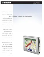
nuvi 350
Brand: Garmin Pages: 2
nuvi 350
Brand: Garmin Pages: 70
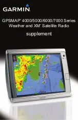
GPSMAP 4000 Series
Brand: Garmin Pages: 24
nuvi 200 Series
Brand: Garmin Pages: 1

GV320
Brand: Queclink Pages: 21

G1000:Beechcraft Baron 58/G58
Brand: Garmin Pages: 538

GV50
Brand: Queclink Pages: 17

TP-GPS806
Brand: TKSTAR Pages: 12

MAP360
Brand: Clarion Pages: 5

GPSMAP 180
Brand: Garmin Pages: 96
T8808+
Brand: TopflyTech Pages: 16

NUVI 2300 series
Brand: Garmin Pages: 95

Qube3
Brand: Navman Pages: 50

CF GPS Receiver
Brand: Rikaline Pages: 19

Zumo TM 500/550
Brand: Garmin Pages: 74

gv300vc
Brand: Queclink Pages: 21

Mobilus 3.0
Brand: Datacom Pages: 42

961X
Brand: NorthStar Pages: 86


