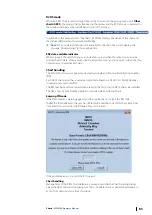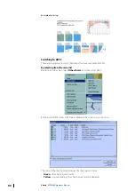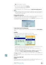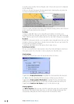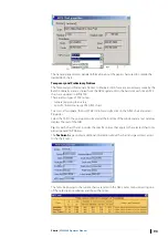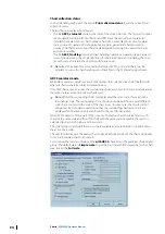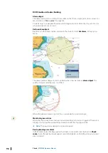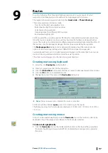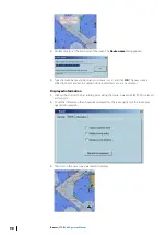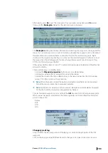
The screen covers a limited part of the chart. When a new waypoint has to be plotted outside
of the screen area in view ECDIS gives the user the possibility to scroll and zoom without
deactivating the New route tool:
•
With ENC charts, click right button on the chart to select another scale from the drop
down menu. Move the cursor outside of the chart area to scroll the chart in that direction
•
With raster charts, click right button on the chart to load another chart located under the
cursor. Move the cursor outside the chart area or click outside of the chart borders to load
another chart located under the click.
To zoom and scroll the chart during waypoint plotting it is easier to use the short keys
F1
and
F2
to zoom in and out and the keyboard arrows to move the chart.
New waypoint and local time
ECDIS automatically calculates time zone for each waypoint. The time zone for a selected
waypoint can be changed in the Waypoint properties dialog (see
Download from GPS
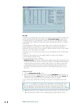
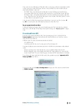
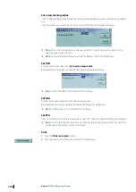
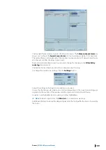
A route can be downloaded from a GPS. The downloading process is controlled in the
Sensor monitor
application and could be performed from the Sensor monitor as well as
from the ECDIS route menu.
Different types of routes can be downloaded from the GPS:
•
A complete route
•
A working route that has an active waypoint as the start waypoint
The downloaded routes are automatically stored in the ECDIS route database with a default
name:
•
When a working route is downloaded, the route is loaded automatically in ECDIS.
•
When a complete route is downloaded into the ECDIS routes database it is stored in the
current route folder. The route should be given a name and then stored/used accordingly.
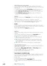
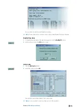
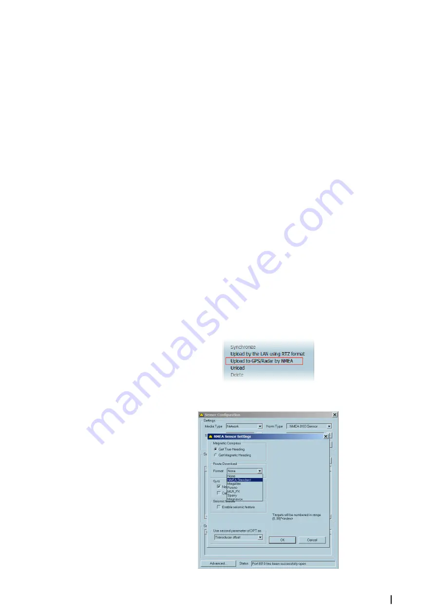
To use the route menu, right click on the route to be uploaded and select
Upload to GPS/
Radar by NMEA
from the list.
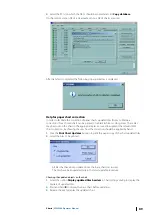
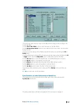
You can also open to the
Sensor Configuration
dialog and set the route download format
as
NMEA Standard
.
Routes
| ECDIS900 Operator Manual
99

