SNIPPETS / SIDESCAN BACKSCATTER
SeaBat 8160
Operator‟s Manual
Page 109
October 6, 2011
Version 5
F.2 Snippets Imagery Data
A s
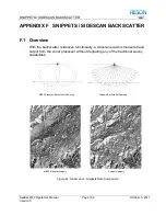
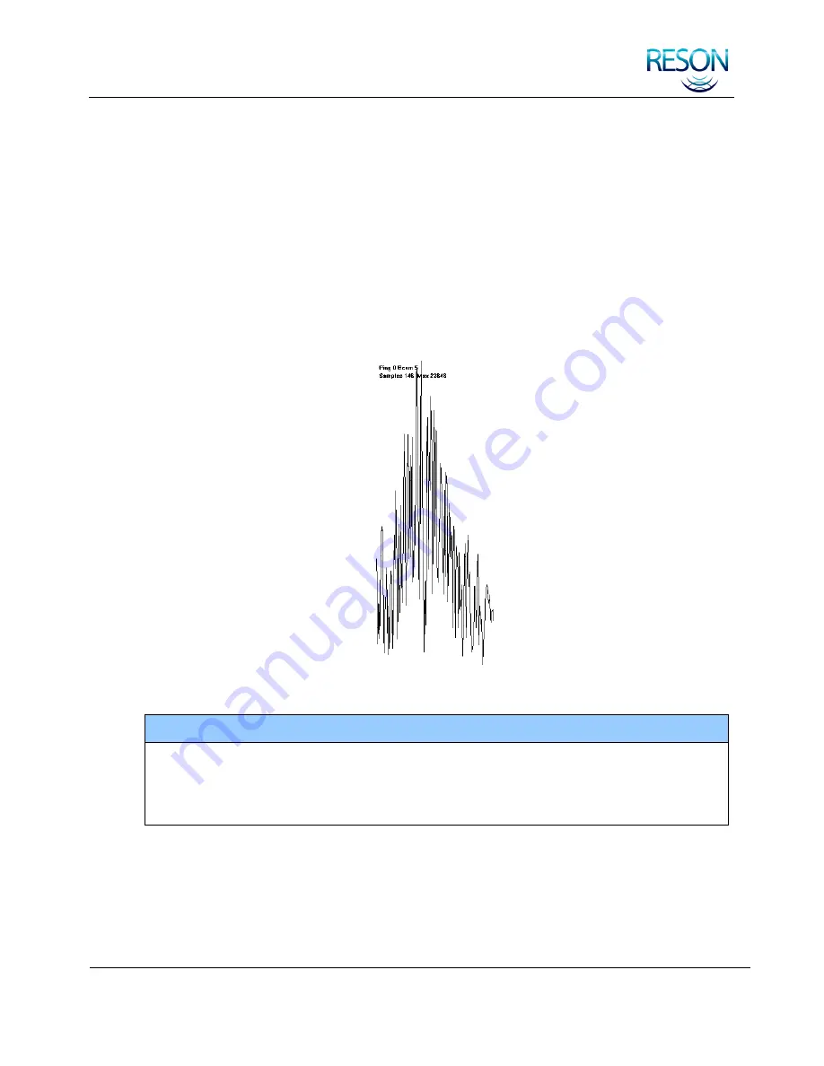
nippet is the series of amplitude values in the signal reflected from a beam‟s
footprint on the seafloor (see
). One snippet will be produced for each
beam for each sonar ping. The length of each snippet will vary as a function of
the individual beam angle, seafloor depth, and the snippets operating mode.
If the snippet data for each swath is concatenated, with each individual beam
centered at its corresponding bottom detect point (footprint) location, the
combined series will provide a result similar to slant range corrected sidescan
imagery (see
). In most cases, this will provide 100% coverage of the
sea floor.
Figure 45: Snippets Data Sample
NOTE
The snippets feature satisfies the USGS survey requirements for high-
resolution backscatter data. With snippets and the proper processing software,
surveyors have additional information to allow better classification of bottom
properties.
F.3 Sidescan Imagery Data
Sidescan forms an image of the sea floor which can be used to locate and
identify features and bottom conditions. Each sonar ping is used to generate a
line of data. Each line contains a series of amplitudes representing the signal

