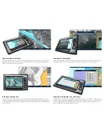
High resolution Aerial overlay
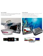
Enjoy stunning high resolution aerial overlay in both 2D and 3D navigation modes. Navionics P charts feature built in
imagery with resolutIons as high as 1/4 meter per pixel. E-Series Widescreen also features aerial image overlay transparency
allowing you to blend in just the right amount of detail.
Bathymetric fishing charts
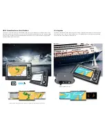
Navionics’ exclusive high resolution bathymetric charts give anglers the advantage with super detailed depth contours, spot
soundings and an extensive database of underwater wrecks and obstructions. E-Series Widescreen can also display charts side-
by-side, enabling simultaneous viewing of both navigation and fishing charts in 2D or 3D mode. With E-Series Widescreen, the
choices are all yours.
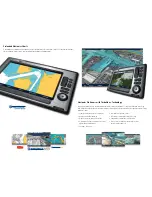
Panoramic Port Photographs
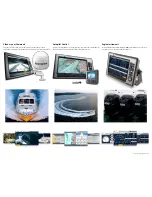
Cruising captains and navigators will appreciate Navionics’ P panoramic port photos. Presented in stunning 1024 x 768
high resolution, they offer you a bird’s eye view of marinas, docks, harbors, inlets and other prominent marine features.
integrated cruising guide, Tides and currents
Navionics P charts contain volumes of valuable navigation data from the NOAA Coast Pilot books. Information like chan-
nel and wharf descriptions, anchorages and bridge clearances are all instantly available and geo-referenced to your boat’s current
position. Tide and current data is also available with the touch of a button. View real-time tides and current while out on the
water, or view predictions for any date when planning a future trip.
Summary of Contents for E90W
Page 1: ...E with...

