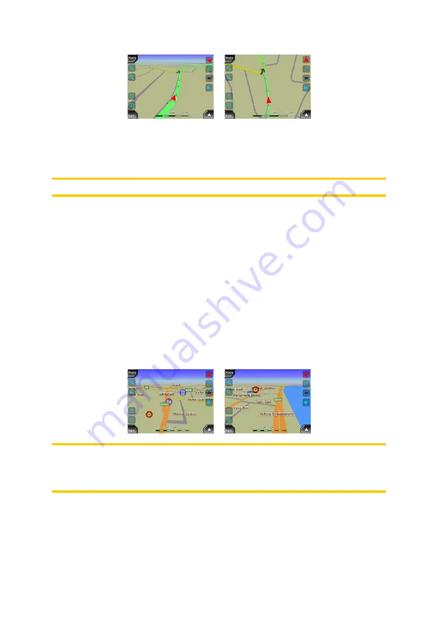
AVIC-S2 has a built-in Lock-on-Road feature that always puts the position arrow on
the road, on the axis of the street in case of one-way streets, or on the side of the
road where you drive (e.g. on the right in the United States, and on the left in the
U.K.) on two-way roads.
Note: The Lock-on-Road feature can be turned off in Advanced settings (Page 59).
When the GPS position is lost, the arrow turns gray, but the indicator continues on
the recommended route for a short period of time with the speed last detected before
the GPS position was lost. This way short tunnels can be crossed without losing the
position.
4.1.7 Selected map point, also known as the Cursor
If you tap the map somewhere or select a specific item in Find, it will become the
selected point on the map, marked with a small red dot and permanently radiating
red circles to make it conspicuous at all zoom levels, even when it is in the
background of a 3D map view. You can use this point as starting point, via point, or
destination of your route, you can search for a POI near to it, or save it as a POI. The
cursor, when visible, is also the reference point for map scaling.
Note: When your GPS position is available, and Lock-to-Position (Page 27) is active,
the cursor is the current GPS position, the red arrow. When you select another point
by tapping the map, or using the Find menu (Page 62), the new Cursor is shown on
the display with the red dot and the radiating red circles.
4.1.8 Visible POIs (Points of Interest)
AVIC-S2 comes with thousands of built-in POIs, and you can create your own POI
database as well. Having all of them displayed on the map would make the map too
19


