1715055
34
2017-08-30
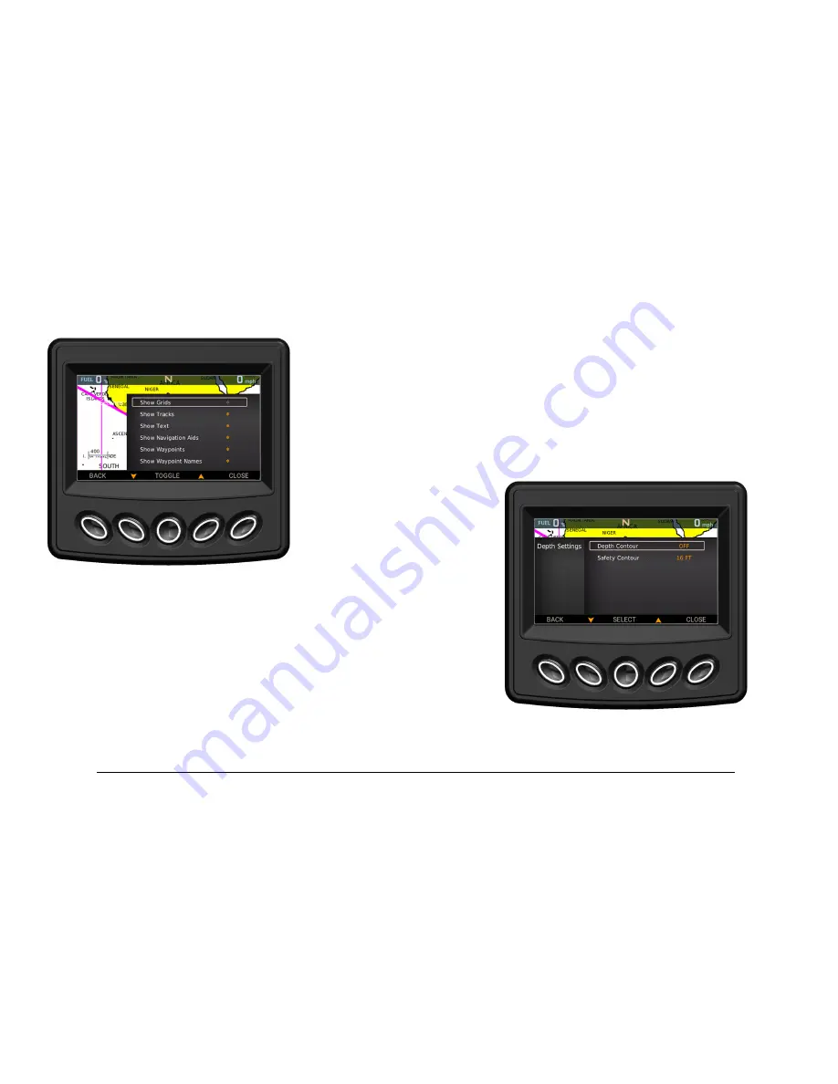
Chart Settings
To show or hide grids, tracks, text, navigation aids,
waypoints or waypoint names, highlight the desired setting
and press Toggle. The asterisk will illuminate (show) or dim
(hide).
Depth Settings
Set the Depth Contour value to display the following water
depths on the Maps screen:
•
6 feet (1.8 meters)
•
16 feet (5 meters)
•
33 feet (10 meters)
•
66 feet (20 meters)
•
All
•
Off


