


6.
Survey-field Data collect
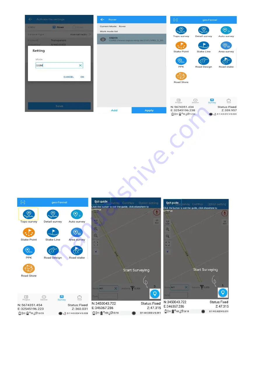
This section describes the basic survey functions of Survey Master, including Topo survey, Auto survey,
Area survey and stakeout.
6.1
Topo-Survey
Click Topo Survey-> enter point name, ->click the blue button to start or stop collecting data.
•
You can quickly change antenna height in the survey interface.
•
Tap
Elem
to check point coordinates.
•
Tap
Layer
to show the layers you want display on map .
•
Summary of Contents for FGS Lite
Page 18: ......