17-1
17. WEATHER OVERLAY
17.1
What is the Weather Overlay?
The weather overlay, available in the Voyage navigation and Voyage planning modes,
provides an animated display of weather information over time for the area selected.
The information may include wave, ocean current, wind, temperature, cloud coverage,
and precipitation rate. Spot weather information, which provides cursor-picked weath-
er reports, is also provided.
The weather overlay is driven by GRIB (Gridded Information in Binary) data files. (This
equipment supports GRB1 (1st edition) files.) GRIB is the format used by the world’s
meteorological institutes to transport and process global weather data. (GRIB2 files
are output direct from Numerical Weather Prediction programs, which is usually the
US GFS (General Forecast System.) Other models are used, however no one model
is more reliable or accurate than another.
GRIB files are sent without review, thus there is no assurance that the data are accu-
rate or correct. They are intended as an aid to weather forecasting - use them in con-
junction with other weather data such as GMDSS forecasts and Navtex broadcasts.
GRIB forecasts are useful for short term planning. The US GFS mathematical model,
for example, is run four times a day, and produces forecasts for up to 16 days in ad-
vance, but with decreasing reliability over time. The model calculates on a 3-D grid
with horizontal spacing of approx. 27 km on a 1/2 degree grid - namely approx. 30 mile
spacing.
Global forecasts (GRIB files) are available through a wide variety of sources; for ex-
ample, e-mail, FTP, and web browser, and most are free to the user.
17.2
How to Activate, Deactivate the Weather Overlay
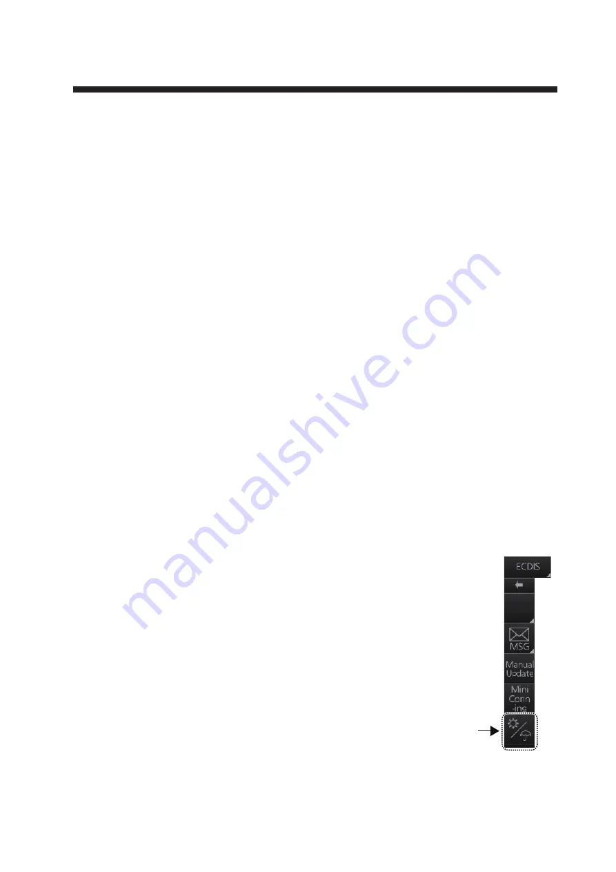
To activate the weather overlay
, get into the Voyage nav-
igation mode then click the Weather overlay button on the
InstantAccess bar. The overlay is active when the back-
ground color of the button is light blue.
Note:
The weather overlay and manual update mode (If
active) are activated or deactivated reciprocally.
Weather
overlay
button
Voyage
Summary of Contents for FMD3100
Page 36: ...1 INTRODUCTION 1 20 This page is intentionally left blank ...
Page 70: ...2 OPERATIONAL OVERVIEW 2 34 This page is intentionally left blank ...
Page 128: ...5 VECTOR S57 CHARTS 5 12 This page is intentionally left blank ...
Page 140: ...7 C MAP BY JEPESSEN CHARTS 7 6 This page is intentionally left blank ...
Page 206: ...11 HOW TO MONITOR ROUTES 11 16 This page is intentionally left blank ...
Page 230: ...13 TRACKED TARGET TT FUNCTIONS 13 10 This page is intentionally left blank ...
Page 244: ...14 AIS TARGET FUNCTIONS 14 14 This page is intentionally left blank ...
Page 250: ...15 AIS SAFETY NAVTEX MESSAGES 15 6 This page is intentionally left blank ...
Page 294: ...19 RECORDING FUNCTIONS PLAYBACK FUNCTIONS 19 14 This page is intentionally left blank ...
Page 312: ...20 ALERTS 20 18 This page is intentionally left blank ...
Page 332: ...22 SETTINGS MENU 22 16 This page is intentionally left blank ...
Page 338: ...23 MAINTENANCE AND TROUBLESHOOTING 23 6 This page is intentionally left blank ...
Page 395: ......


