90
6.3.3.2
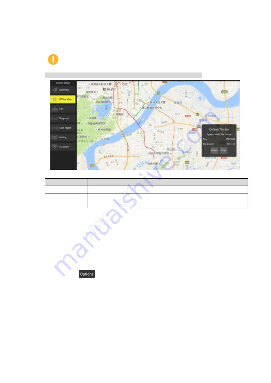
Delete Offline Map
Select “Aircraft Settings > Offline Map”, and click “Offline Map” to enter the setting interface, as
shown in Figure 6-10.
Caution
As default offline map of the system, “Default Tile Set” cannot be deleted.
Figure 6-10
Parameter
Note
Zoom level
Min. and max. level value set by offline map.
Total
Set the interval value of max. and min. level; automatically calculate the
internal storage of map and quantity of pictures.
Table 6-2
Click "Delete" to delete the displayed offline map.
6.3.3.3
Set Disk Cache of Offline Map
Set the disk cache of map which needs to be stored.
Step 1 Select “Aircraft Settings > Offline Map”. The system will display the interface of “Offline
Map”.
Step 2 Select
on the lower right corner of the page; enter the setting interface of disk
cache, as shown in Figure 6-11. Refer to the settings below, and select "Save" to
make settings valid.
Summary of Contents for Navigator X820
Page 1: ...NAVIGATOR X820 User s Manual V1 0 1 ZHEJIANG DAHUA VISION TECHNOLOGY CO LTD ...
Page 18: ...5 Figure 2 2 ...
Page 21: ...8 2 2 1 Visible Light PTZ Camera 2 2 1 1 Dimensions Figure 2 4 ...
Page 22: ...9 Figure 2 5 ...
Page 24: ...11 2 2 2 Thermal PTZ Camera Optional 2 2 2 1 Dimensions Figure 2 7 ...
Page 25: ...12 Figure 2 8 ...
Page 27: ...14 2 3 Remote Control 2 3 1 Dimensions Figure 2 10 ...
Page 40: ...27 2 4 Ground Control Station GCS 2 4 1 Dimensions Figure 2 25 Figure 2 26 ...


