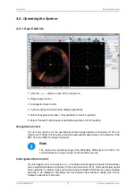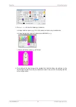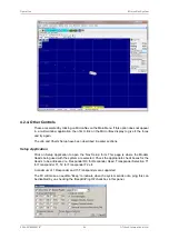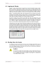
Adding and Using User Bitmap Charts
MicronNav System
0656-SOM-00001-07
90
© Tritech International Ltd.
INI File Structure
As an example a simple bit map chart and ‘ini’ file have been created below, the bit map chart
has been called (DockTest.bmp) and the ‘ini’ file called (Tritech_Ulverston_Charts.ini).
Chart details
latitude and longitude of the lower left corner
54.05451°(N), 3.13384°(E)
metric UTM coordinates of the lower left corner
485132(E), 5994210(N)
metric coverage of the chart from east to west
613 metres
metric coverage of the chart from north to south
336 metres
ellipsoid code to be used
WGS84 i.e. code 9
UTM zone to be used
Zone 30
6.2. Editing a Chart
If a Chart has already been created and added into the system, it is possible to make changes
to this at a later date. To make any edits to existing charts, Open the Chart Editor by selecting
from the Main menu, MicronNav – Charts – Edit Chart.


