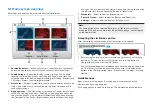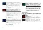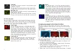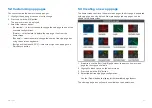
5.4 Global positioning
GPS/GNSS status
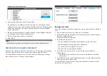
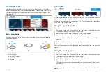
Your vessel’s GPS/GNSS position coordinates are provided in the top left
corner of the homescreen. You can access fix accuracy and settings by
selecting this area.
If latitude and longitude is displayed on the homescreen, your vessel has a
valid position fix. If the text turns red, it means that your fix accuracy is low.
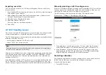
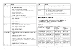
The sky view on the left side of the page shows available satellites and
identifies the GNSS constellation to which they belong. The color of the
satellite symbol identifies its status:
• White = searching for satellite
• Green = satellite in use
• Orange = tracking satellite
The
[Show Signal (dB)]
toggle switch can be used to show or hide a signal
strength bar for each satellite.
GPS / GNSS settings
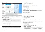
Settings for your GPS / GNSS receiver can be accessed by selecting the top
left corner of the homescreen and then selecting the
[Settings]
tab.
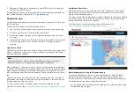
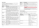
From the GPS / GNSS settings tab you can:
•
[Differential positioning:]
— Enabling differential positioning provides more
accurate positioning in regions covered by Satellite Based Augmentation
Systems (SBAS).
•
[COG/SOG filter:]
— Setting the COG / SOG filter according to the amount
of your vessel’s oscillation (e.g.: roll, pitch and yaw) provides more stable
COG and SOG readings.
•
[Internal GPS:]
— Enable and disable your display’s built-in GPS / GNSS
receiver.
•
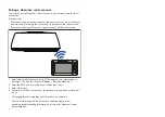
[Send GPS to VHF:]
— Enable and disable output of GPS / GNSS data from
your display to a connected VHF radio.
•
[Restart]
— Restart the GPS / GNSS receiver in use by the display.
44


