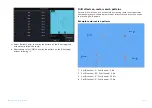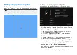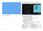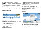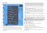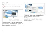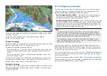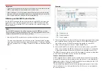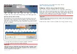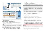
Layers can be enabled and disabled from the
[Layers]
settings menu:
[Menu
> Settings > Layers]
.
For details of the available layers and related settings refer to:
Camera tracking
When connected to a compatible Pan and Tilt Thermal camera you can track
targets or point your camera at a specific target or area.
2 options are available for camera tracking:
•
[Point camera here]
— Points the camera at a specific point onscreen, the
camera will remain pointed at this area regardless of your own vessel’s
course.
•
[Track with camera]
— Tracks a selected target regardless of your own
vessel’s or target’s course.
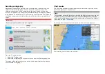
Camera tracking options are available from the Context menu in the Chart
and Radar apps:
[Context menu > more options > Point camera here]
, or
[Context menu > more options > Track with camera]
.
Automatic tracking
You can use the Camera app settings to configure automatic tracking for AIS,
Radar and MoB targets:
[Camera app > Menu > Settings > Camera motion
> AUTO TRACKING]
11.3 Cartography overview
The Chart app includes a basic world base map. To use the Chart app for
navigation purposes, compatible, detailed Electronic Navigational Charts
(ENC) or Raster Navigational Charts (RNC) are required.
•
Raster Navigational Chart (RNC)
— A Raster chart is a digital image of
a paper chart, and therefore the available information is limited to the
information available on the equivalent paper chart.
•
Electronic Navigational Chart (ENC)
— ENCs are Vector based charts and
include information that is not available on paper or Raster charts. Objects
and features on Vector charts can be selected to obtain information that
otherwise would not be readily available. Chart objects and features can
also be enabled and disabled, or customized.
Note:
• The level of detail and features available on charts vary depending on
vendor, chart type, subscription level and geographic region. Prior to
purchasing charts, check the vendor’s website to establish what level of
detail is available on the charts you want to purchase.
• The information relating to available chart detail and settings in this
manual should be treated as guidance only, as it is subject to change,
which is not under Raymarine’s control.
The Chart app range scale will affect the level of detail shown onscreen.
Generally, more detail is available at lower ranges. The chart scale in use is
indicated by the scale indicator, the value displayed is the distance that the
range scale line represents onscreen.
You can remove and insert chart cards at any time. The MFD will automatically
detect compatible chart cards and you will be asked if you want to change
your current selection.
For chart card selection details, refer to:
p.201 — Cartography settings menu
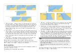
Different cartography types can be viewed simultaneously using an app page
that includes multiple instances of the Chart app.
159
Содержание LIGHTHOUSE 4
Страница 2: ......
Страница 4: ......
Страница 20: ...APPENDIX C HARDWARE AND SOFTWARE COMPATIBILITY 478 APPENDIX D DOCUMENT CHANGE HISTORY 480 20...
Страница 414: ...414...
Страница 451: ...4 Select Delete again to confirm 5 Select OK YachtSense ecosystem 451...
Страница 484: ......
Страница 503: ......

