11.1 Chart app chapters
This document includes a chart app chapter for each of the available chart
modes. This chapter includes a general overview of the available features
and settings of the chart app.
To view details about chart mode specific features and settings refer to the
relevant chart app chapter:
•
p.210 — Chart app - Navigate mode
•
p.212 — Chart app - Fishing chart mode
•
p.215 — Chart app - Anchor mode
•
p.234 — Chart app - Weather mode
•
p.247 — Chart app - Tides mode
•
p.219 — Chart app - Racing mode
•
p.229 — Chart app - Fish mapping mode
11.2 Chart app overview
The chart app displays a representation of your vessel in relation to land
masses and other charted objects, which enables you to plan and navigate to
your desired destination. The Chart app requires a GNSS (GPS) position fix in
order to display your vessel at the correct location on a world map. For the
chart app to recognise vessel direction a heading sensor is recommended. If
heading data is not available then stable Course Over Ground (COG) may
be used.
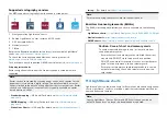
The chart app uses chart modes to configure the chart screen and settings
for the relevant activity. For details on available chart modes, refer to:
For each instance of the chart app you can select which chart mode and
which electronic cartography you want to use. The selection will be saved
and persist over a power cycle.
The chart app can be displayed in both fullscreen and splitscreen app pages.
App pages may consist of up to 4 instances of the chart app.
If you are underway and using a chart mode that is not suitable for navigation
it is recommended that you create a splitscreen app page and use navigate
mode in one of the splitscreen panes.
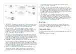
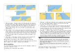
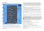
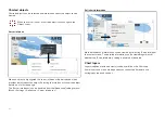
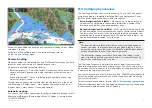
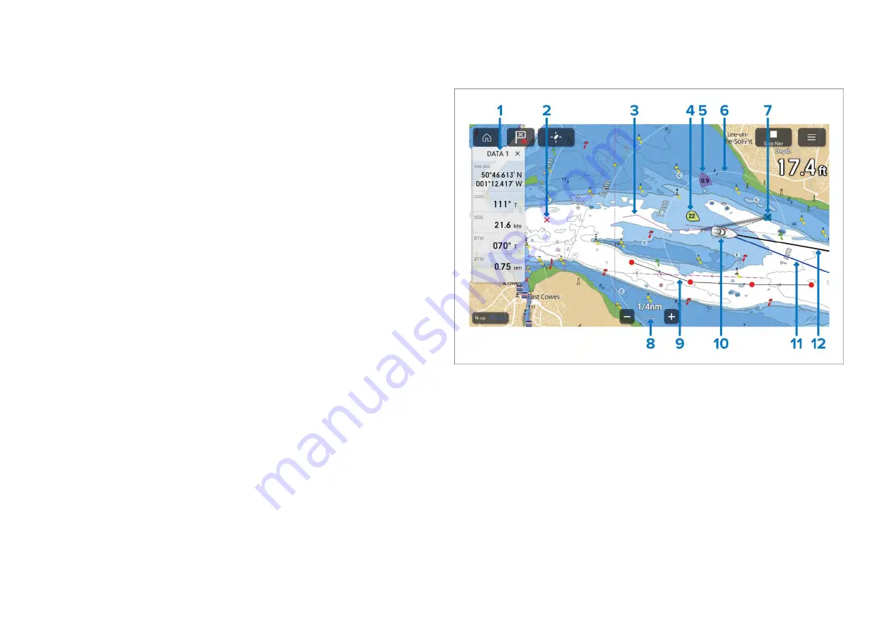
Below is an overview of features available in the chart app some features
may not be available in all chart modes. If a setting option or feature that you
are looking for is not available, try changing the chart mode.
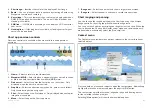
1.
Sidebar
— The Sidebar contains system data that can be viewed in all
apps.
2.
Waypoint
— Use waypoints to mark specific locations or points of
interest.
3.
Track
— You can record the passage your vessel takes using Tracks.
4.
Wind indicator
— Provides indication of wind direction and speed (Wind
transducer required).
5.
Tide indicator
— Provides tide Set and Drift indicators. Requires the
following data: COG, Heading, SOG, and STW (Speed Through Water).
6.
Range rings
— Provides a distance indication around your vessel at set
intervals.
7.
Destination waypoint
— During a Goto, this is the current destination
waypoint.
152
Содержание LIGHTHOUSE 4
Страница 2: ......
Страница 4: ......
Страница 20: ...APPENDIX C HARDWARE AND SOFTWARE COMPATIBILITY 478 APPENDIX D DOCUMENT CHANGE HISTORY 480 20...
Страница 414: ...414...
Страница 451: ...4 Select Delete again to confirm 5 Select OK YachtSense ecosystem 451...
Страница 484: ......
Страница 503: ......

