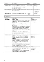
7.4 Chart settings menu
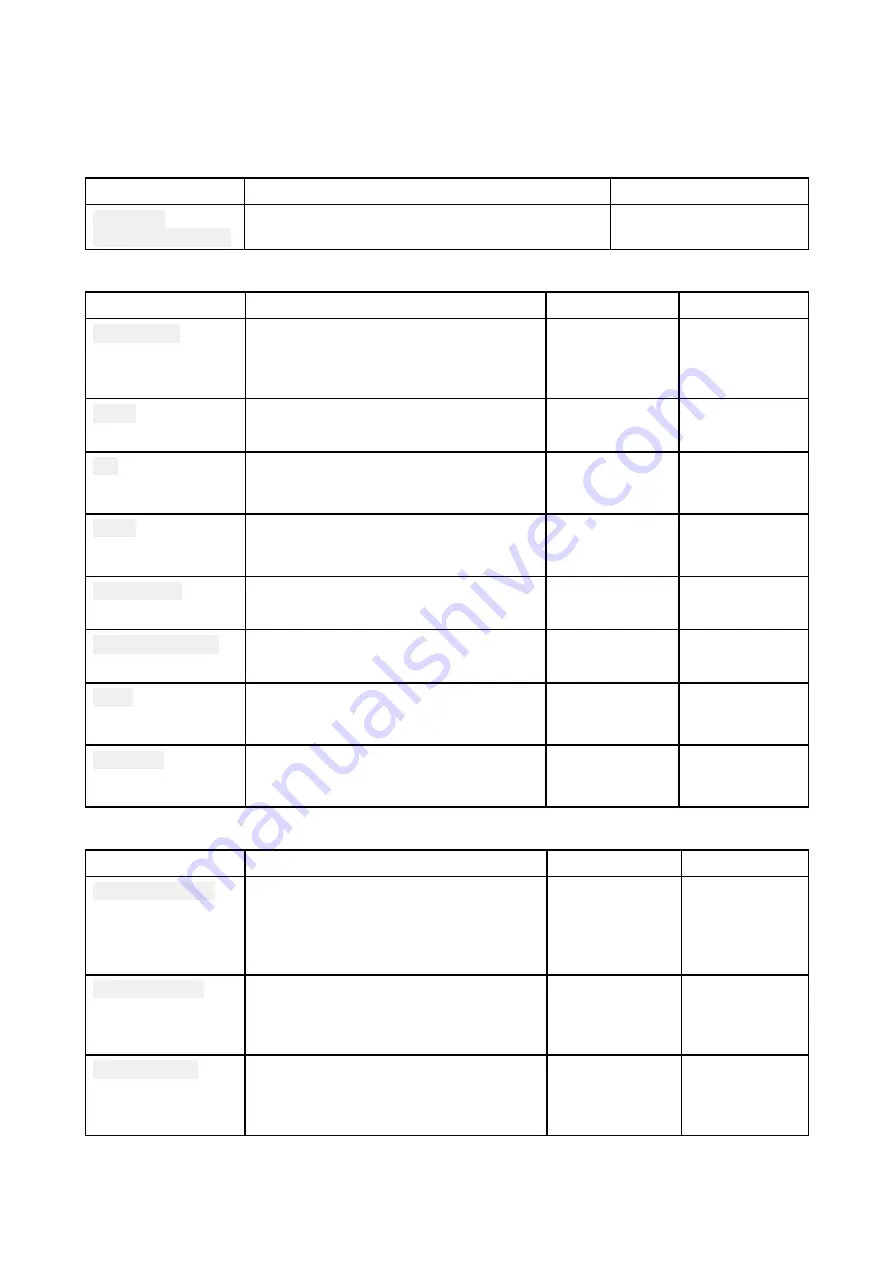
The table below lists settings applicable to the Chart app and their location within the app Settings
menu.
Cartography
Settings
Description
Options
Navionics
LightHouse Charts
Allows you to select the cartography that you
want to use in the current Chart app.
List of available
cartography
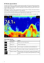
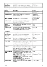
Layers tab
Settings
Description
Options
Vendor
Chart detail
Allows you to select the level of detail
displayed onscreen for vector based
cartography.
• Low
• Medium
• High
All
Aerial
Provides photographic overlay on
cartography.
• On
• Off
Navionics
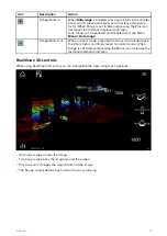
AIS
Allows you to display AIS targets
overlaid in the Chart app.
Requires AIS hardware.
• On
• Off
All
Radar
Provides an overlay of your Radar
scanner image on the Chart app.
Requires Radar scanner hardware.
• On
• Off
All
Range rings
Allows Radar like range rings to be
overlaid in the Chart app
• On
• Off
All
Community edits
Allows you to overlay community edits
on your compatible cartography
• On
• Off
Navionics
Tides
When using compatible cartography,
enables you to view tide and current
graphics overlaid on the chart.
• On
• Off
Navionics
EasyView
When using compatible cartography,
EasyView magnifies useful icons and
text to make them easier to read.
• On
• Off
Navionics
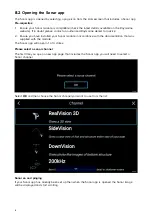
Depths tab
Settings
Description
Options
Vendor
Show soundings
Enables and disables display of depth
soundings on the chart. When set to
Manual depth soundings will be shown
from zero to the specified maximum
depth.
• None
• Manual
• All
• Navionics
• LightHouse
(Vector)
Show contours
Enables and disables display of depth
contours on the chart. When set to
Manual, contours will be shown from
zero to the specified maximum depth.
• None
• Manual
• All
Navionics
Shallow water
Determines the depth at which the
Shallow contour is displayed.
The Shallow contour cannot be set
above the Safety or Deep contour value.
Numeric value
• Navionics
• LightHouse
(Vector)
71

