Configuring the terminal in the Service application
Configuring the "GPS TILT-Module" terrain compensation
7
30302710-02-EN
V7.20160121
39
Format of correction signal for the SMART-6L DGPS/GLONASS receiver.
Only appears when "RTK radio" or "RTK GSM" correction signals have been selected.
Possible values:
▪ RTCM V3
▪ CMR/CMR+
▪ RTCA
For the correction signal format which you must select, please refer to your correction service.
Terrain compensation
The GPS TILT-Module terrain compensation is configured using this parameter.
You can order the terrain compensation from Müller-Elektronik with the following item number:
30302495.
RTK license for SMART-6L
You will need a SMART-6L DGPS/GLONASS receiver and RTK license in order to work with RTK
correction signals.
The RTK license is inserted by Müller-Elektronik. You will need to either order a license at the same
time as you order the receiver, or send in your receiver.
Configuring the "GPS TILT-Module" terrain compensation
The "GPS TILT-Module" terrain compensation is connected.
The tractor is positioned on level ground.
The driver of the external ME LightBar is deactivated.
1. If any additional devices (e.g. ME LightBar) are connected to the cable between the terminal and
the tilt module, disconnect them. The tilt module must be connected directly to the terminal. After
the tilt module has been configured, these additional devices must be reconnected.
2. Measure the distance between the GPS receiver and the ground surface.
3. Switch on the terminal.
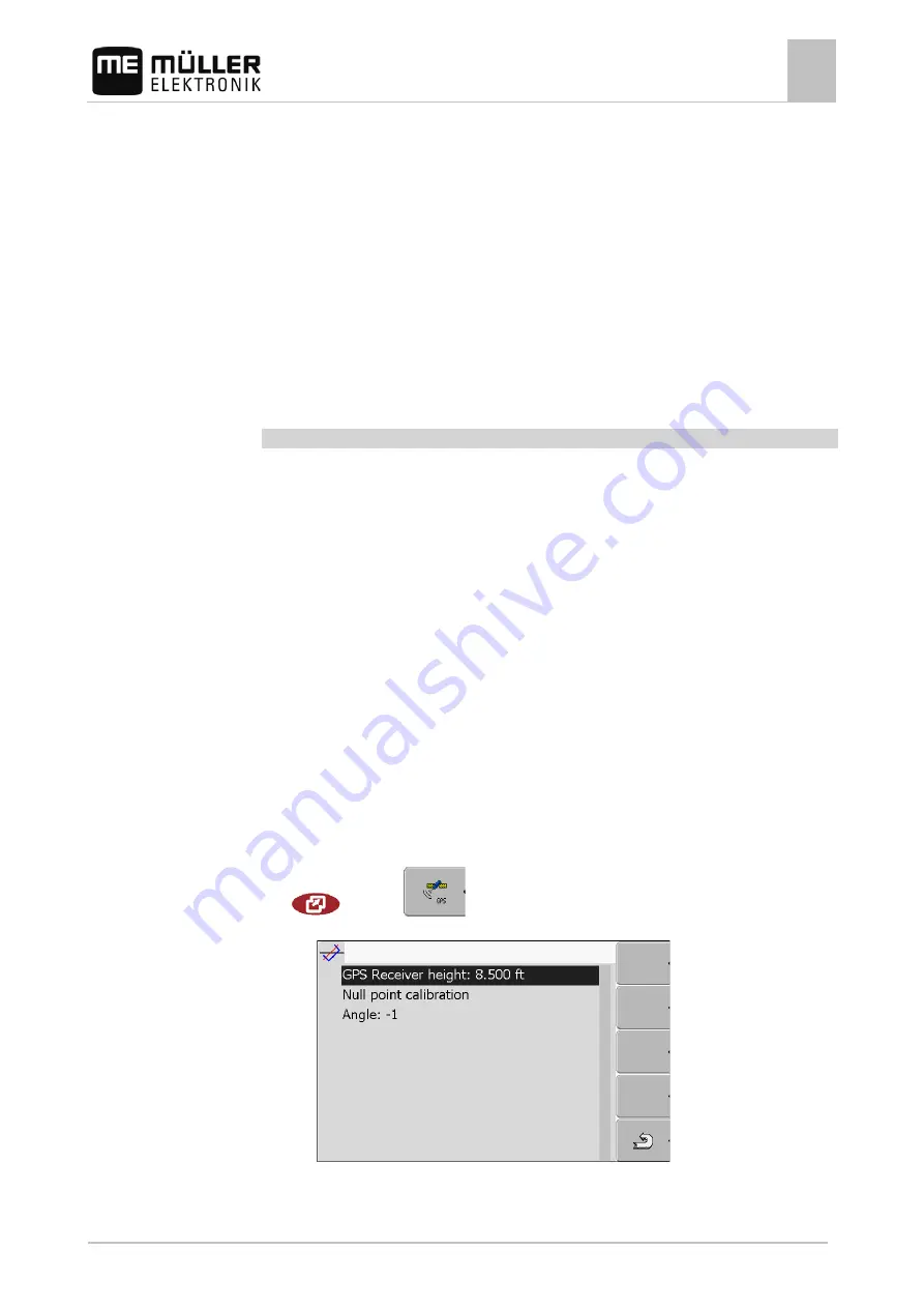
4. Switch to the tilt module configuration screen:
| Service |
| Tilt module
⇨
The following screen appears:
5. Enter the distance between the GPS receiver and the ground surface in the line "GPS receiver
height".
7.6
Procedure


