Navigational page layout
Version 6.03, May 2017
Page 143 of 192
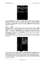
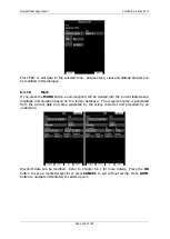
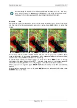
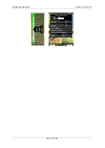
Press EDIT to edit data for the selected zone. Airspace type, class and altitude borders can
be modified in this dialogue.
6.2.1.5
Mark
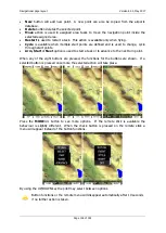
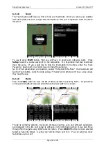
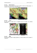
If you press the
MARK
button a new waypoint will be created with the current latitude and
longitude and elevation based on the terrain database. The waypoint name is generated
from the current date and time separated by the minus character and preceded by an
underscore.
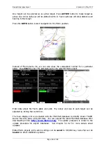
Waypoint data can be modified. Refer to Chapter 5.6.1 for more details. Press the
OK
button to save a marked waypoint or press
CANCEL
to exit without saving. Press
GOTO
button to navigate immediately to selected point.

